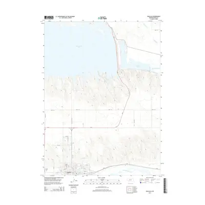
2014 Map of Ogallala
USGS Topo · Published 2014About this map
Ogallala serves as the focal point of this Keith County landscape, situated at a geographic transition between the North Platte River to the north and the South Platte River to the south. The town's grid expands toward the river valley, while the famous Boot Hill Cem stands as a grounded landmark of the region's western heritage. North of the town, the terrain shifts into a series of ridges and draws leading toward the massive expanse of Mcconaughy Lake and the smaller Ogallala Lake. This map captures the intricate water management system of the Platte River valley, including the Sutherland Canal and Cure Cr Reservoir 1-A. Significant transportation corridors like Us-30 and Ne-61 intersect here, facilitating movement through the Platte valley and across the dissected uplands that separate the two river branches.
Find a feature on this map
37 named features on this map. Tap any name to fly to it.
Don’t see what you’re looking for? This feature index may not catch every label — zoom into the map to look around manually.
Map Details
Editions of this 2014 Ogallala Map
This is the sole edition of this map. No revisions or reprints were ever made.
Other maps of this area
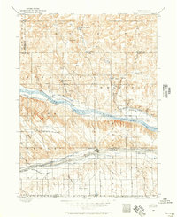
1897 · Ogallala
USGS Topo · 1:125,000
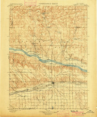
1900 · Ogallala
USGS Topo · 1:125,000
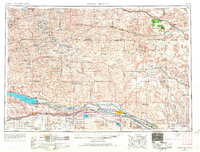
1954 · North Platte
USGS Topo · 1:250,000
1956 · North Platte
USGS Topo · 1:250,000
1957 · North Platte
USGS Topo · 1:250,000
1961 · Brule SE
USGS Topo · 1:24,000
1967 · North Platte
USGS Topo · 1:250,000
1971 · Martin
USGS Topo · 1:24,000
1971 · Ogallala SW
USGS Topo · 1:24,000
1971 · Ogallala SE
USGS Topo · 1:24,000