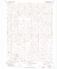
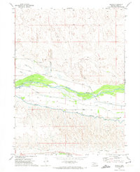
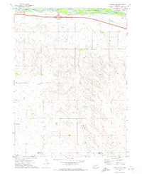
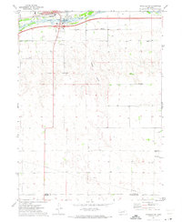
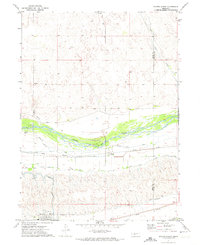
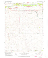
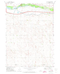
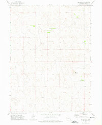
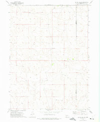
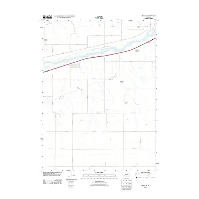
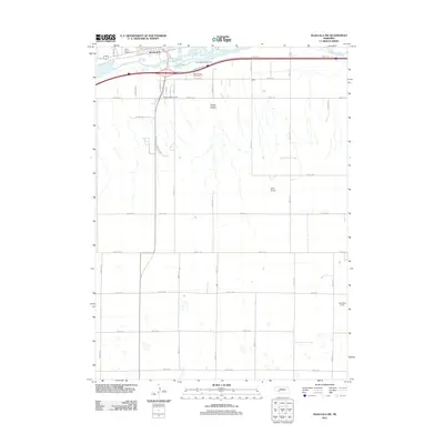
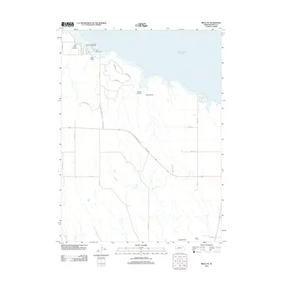
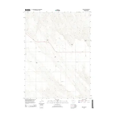
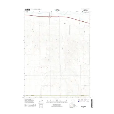
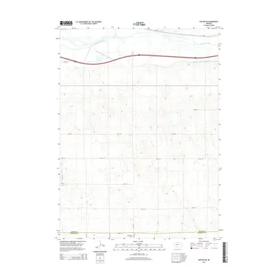
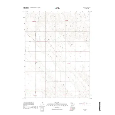
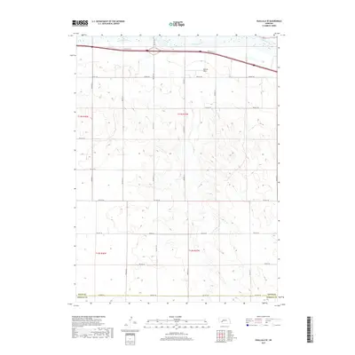
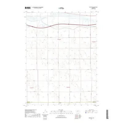
1961 Map of Brule SE
USGS Topo · Published 1963About this map
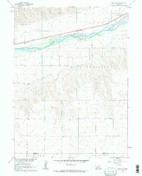
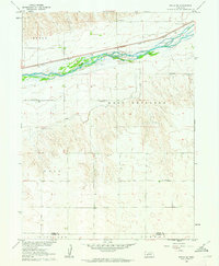
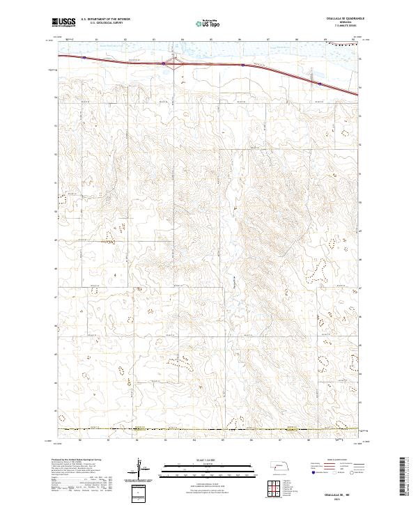
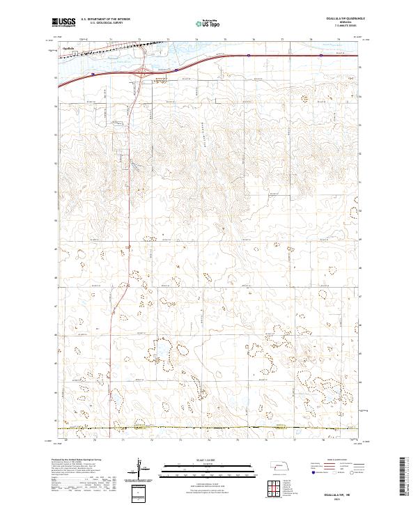
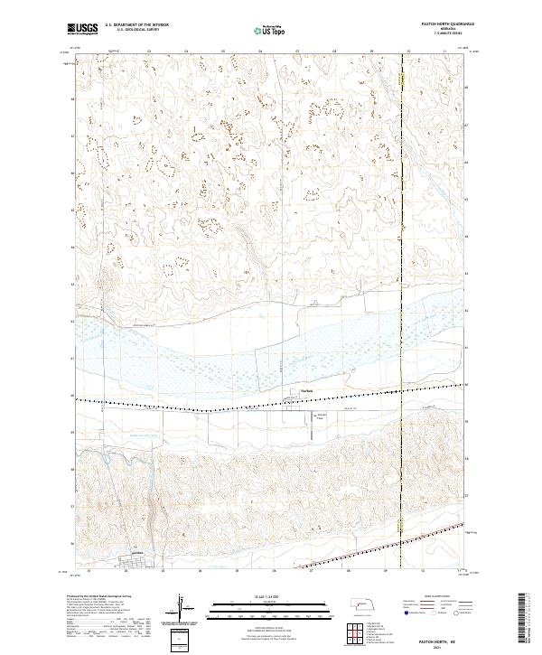
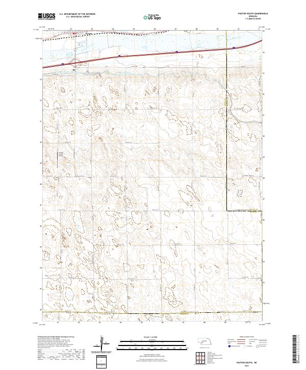
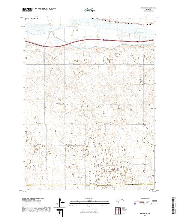
The South Platte River carves a wide, braided path across this portion of Keith County, defining the agricultural and transport corridor of the Nebraska plains. Along its northern bank, the Union Pacific railroad parallels the river, providing a vital link for the small rural communities and ranching operations that dot the landscape. This 1961 field check captures the area just before the full modernization of the regional infrastructure, evidenced by the high density of rural schoolhouses such as School No 14 and School No 5.
Find a feature on this map
15 named features on this map. Tap any name to fly to it.
Don’t see what you’re looking for? This feature index may not catch every label — zoom into the map to look around manually.
Map Details
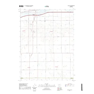
Editions of this 1961 Brule SE Map
2 editions found
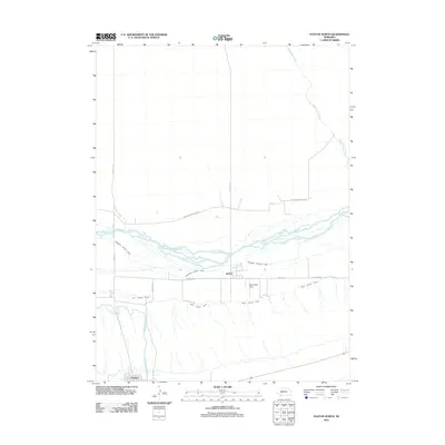
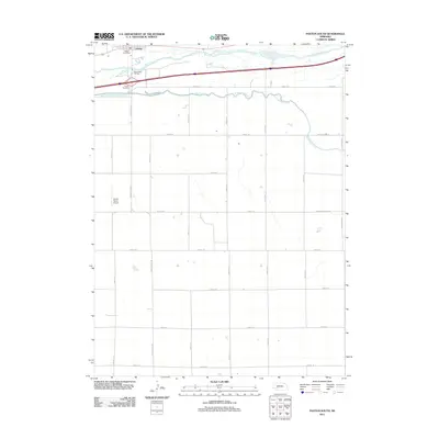
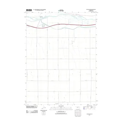
Historical Maps of Ogallala Through Time
60 maps found
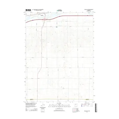
1961 Brule SE
Keith County, NE
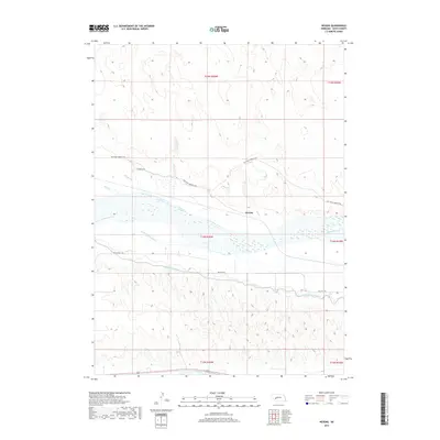
1971 Brule NE
Keith County, NE
1971 Brule NW
Keith County, NE
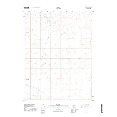
1971 Glinn Ranch
Keith County, NE
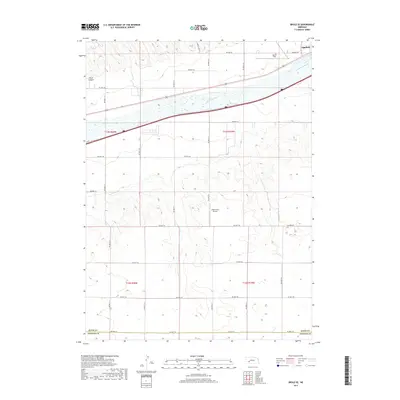
1971 Nevens
Keith County, NE
1971 Ogallala SE
Keith County, NE
1971 Ogallala SW
Keith County, NE
1971 Paxton North
Keith County, NE
1971 Paxton South
Keith County, NE
1971 Paxton SW
Keith County, NE
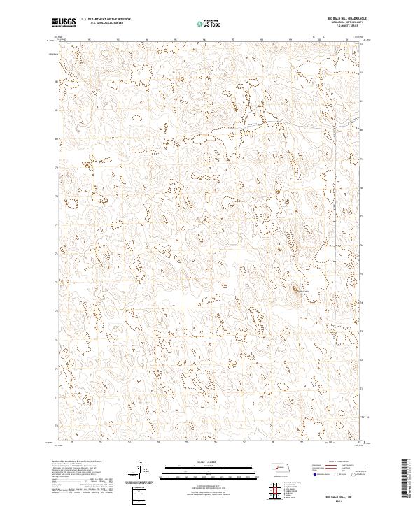
1972 Big Bald Hill
Keith County, NE
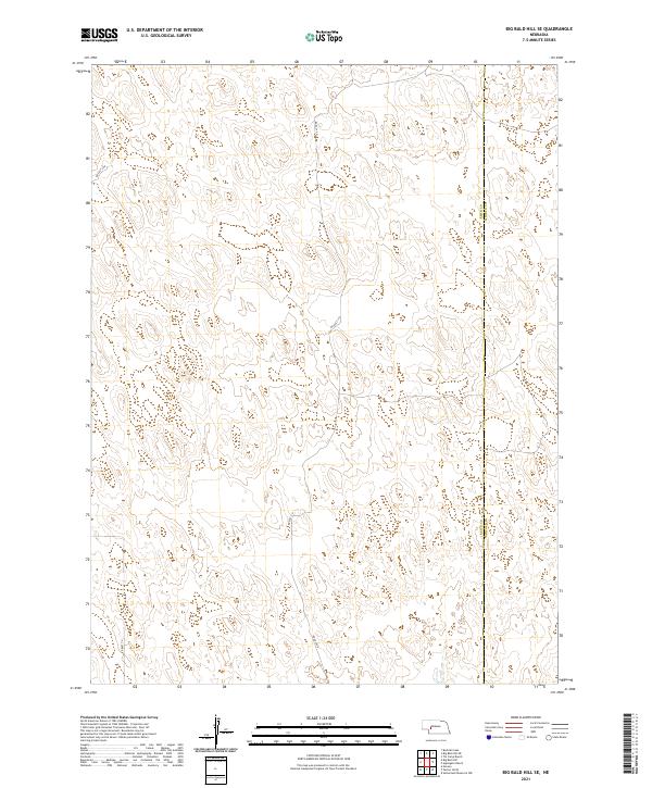
1972 Big Bald Hill SE
Keith County, NE
2011 Big Bald Hill
Keith County, NE
2011 Big Bald Hill SE
Keith County, NE
2011 Brule NW
Keith County, NE
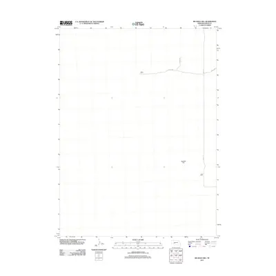
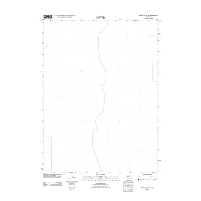
2011 Brule SE
Keith County, NE
2011 Glinn Ranch
Keith County, NE
2011 Nevens
Keith County, NE
2011 Ogallala SE
Keith County, NE
2011 Ogallala SW
Keith County, NE
2011 Paxton North
Keith County, NE
2011 Paxton South
Keith County, NE
2011 Paxton SW
Keith County, NE
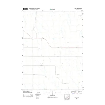
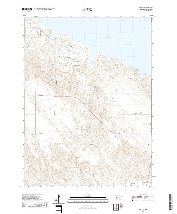
2012 Brule NE
Keith County, NE
2014 Big Bald Hill
Keith County, NE
2014 Big Bald Hill SE
Keith County, NE
2014 Brule NE
Keith County, NE
2014 Brule NW
Keith County, NE
2014 Brule SE
Keith County, NE
2014 Glinn Ranch
Keith County, NE
2014 Nevens
Keith County, NE
2014 Ogallala SE
Keith County, NE
2014 Ogallala SW
Keith County, NE
2014 Paxton North
Keith County, NE
2014 Paxton South
Keith County, NE
2014 Paxton SW
Keith County, NE
2017 Big Bald Hill
Keith County, NE
2017 Big Bald Hill SE
Keith County, NE
2017 Brule NE
Keith County, NE
2017 Brule NW
Keith County, NE
2017 Brule SE
Keith County, NE
2017 Glinn Ranch
Keith County, NE
2017 Nevens
Keith County, NE
2017 Ogallala SE
Keith County, NE
2017 Ogallala SW
Keith County, NE
2017 Paxton North
Keith County, NE
2017 Paxton South
Keith County, NE
2017 Paxton SW
Keith County, NE
2021 Big Bald Hill
Keith County, NE
2021 Big Bald Hill SE
Keith County, NE
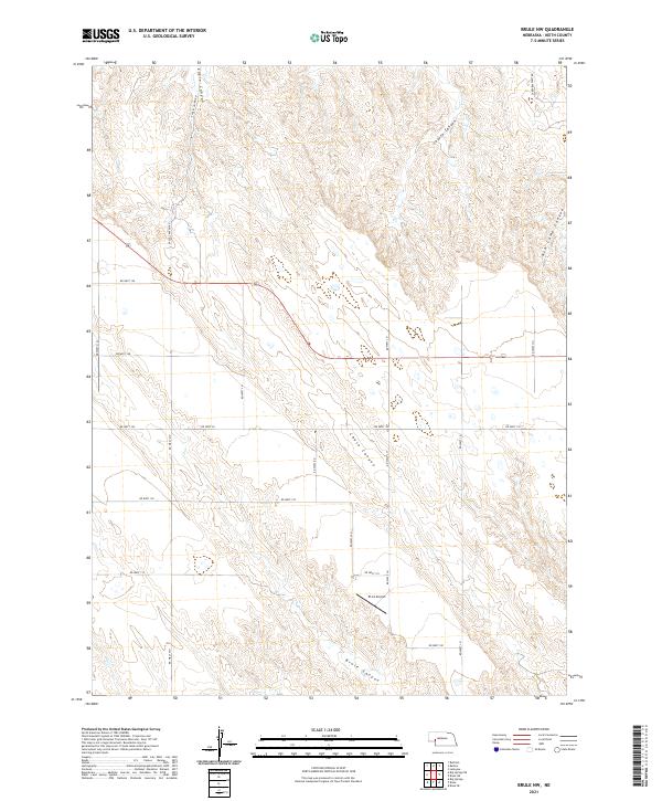
2021 Brule NE
Keith County, NE
2021 Brule NW
Keith County, NE
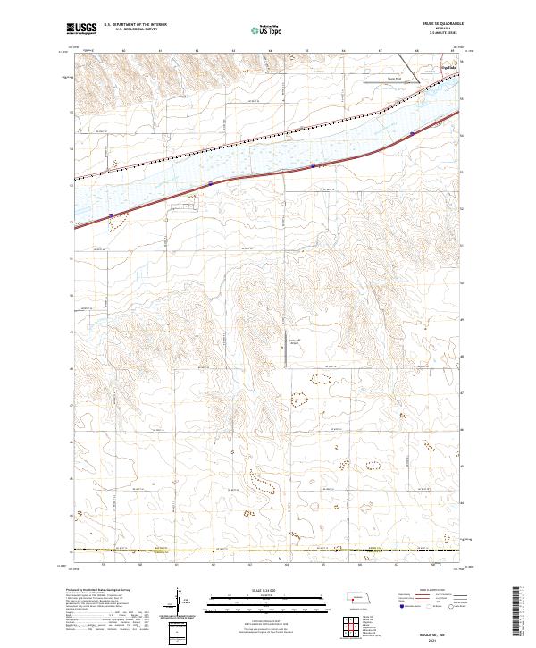
2021 Brule SE
Keith County, NE
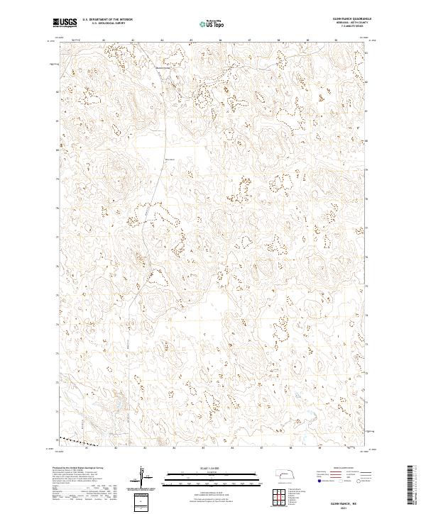
2021 Glinn Ranch
Keith County, NE
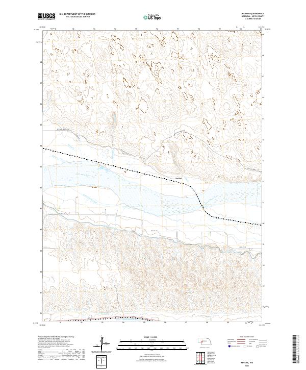
2021 Nevens
Keith County, NE
2021 Ogallala SE
Keith County, NE
2021 Ogallala SW
Keith County, NE
2021 Paxton North
Keith County, NE
2021 Paxton South
Keith County, NE
2021 Paxton SW
Keith County, NE