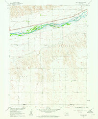
1961 Map of Brule SE
USGS Topo · Published 1963About this map
The braided channels of the South Platte River dominate this early 1960s survey of the Nebraska plains, reflecting the critical role of water management in the region's agricultural development. Running parallel to the river's northern bank, the Union Pacific railroad establishes the primary transportation corridor, while the Western Canal snakes through the southern bluffs to provide irrigation. The landscape transitions from the river valley floor up into the Highland and Eckey terrain. A network of rural education is clearly visible through the placement of School No 14, School No 5, and School No 62, marking the social centers of this farming community. Near the river's bend, the Searle Airport provides a modern aviation link, contrasting with the established land divisions of the Keith Co Perkins Co boundary line.
Find a feature on this map
14 named features on this map. Tap any name to fly to it.
Don’t see what you’re looking for? This feature index may not catch every label — zoom into the map to look around manually.
Map Details
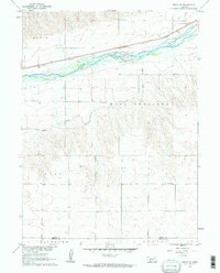
Editions of this 1961 Brule SE Map
2 editions found
Other maps of this area

1897 · Ogallala
USGS Topo · 1:125,000

1900 · Ogallala
USGS Topo · 1:125,000

1954 · McCook
USGS Topo · 1:250,000

1954 · North Platte
USGS Topo · 1:250,000

1956 · North Platte
USGS Topo · 1:250,000

1957 · North Platte
USGS Topo · 1:250,000

1957 · McCook
USGS Topo · 1:250,000

1958 · McCook
USGS Topo · 1:250,000

1961 · Brandon NE
USGS Topo · 1:24,000

1961 · Brandon NW
USGS Topo · 1:24,000