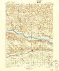
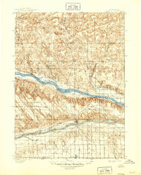
1900 Map of Ogallala
USGS Topo · Published 1939About this map
The North Platte River and South Platte River define this western Nebraska landscape, surveyed just before the turn of the century. The southern corridor is dominated by the Union Pacific railroad and the Ogallala settlement, while the surrounding tablelands are marked by a network of early cattle operations. Notable family-named outposts like Kingsley's Ranch, Mahaffey's Ranch, and Winslows Ranch dot the valley floors, illustrating the transition from open range to established ranching.
Find a feature on this map
48 named features on this map. Tap any name to fly to it.
Don’t see what you’re looking for? This feature index may not catch every label — zoom into the map to look around manually.
Map Details
Editions of this 1900 Ogallala Map
6 editions found
Other maps of this area

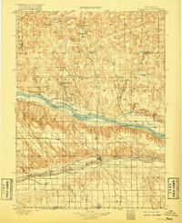
1897 · Ogallala
USGS Topo · 1:125,000

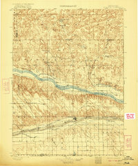
1898 · Paxton
USGS Topo · 1:125,000

1900 · Chappell
USGS Topo · 1:125,000

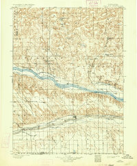
1900 · Ogallala
USGS Topo · 1:125,000

1901 · Paxton
USGS Topo · 1:125,000

1949 · Arthur
USGS Topo · 1:62,500

1949 · Flats
USGS Topo · 1:62,500

1949 · Rackett
USGS Topo · 1:62,500

1950 · Flats
USGS Topo · 1:62,500

1950 · Velma
USGS Topo · 1:62,500