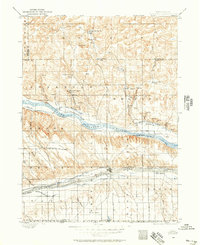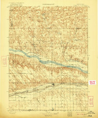
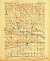
1900 Map of Ogallala
USGS Topo · Published 1922About this map
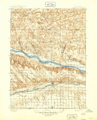
The North Platte River and its parallel canals define this late 19th-century landscape of the Nebraska sandhills and river valleys. Surveyed in 1897, the map illustrates an era of transition as the Union Pacific railroad and irrigation projects like the Alfalfa Canal and Ogallala Main Line Canal reshaped the high plains. Ranching remains the dominant settlement pattern, evidenced by the scattered Mahaffey's Ranch, Kingsley's Ranch, and Brantz's Ranch, many of which were situated near natural water sources like Whitetail Creek or the various springs dotting the dunes.
Find a feature on this map
49 named features on this map. Tap any name to fly to it.
Don’t see what you’re looking for? This feature index may not catch every label — zoom into the map to look around manually.
Map Details
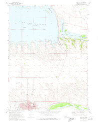
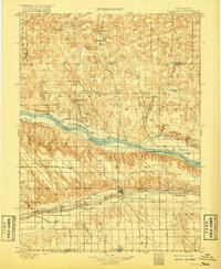
Editions of this 1900 Ogallala Map
6 editions found
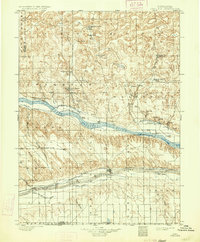
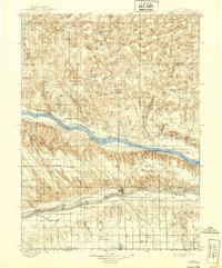
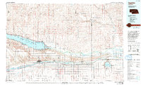
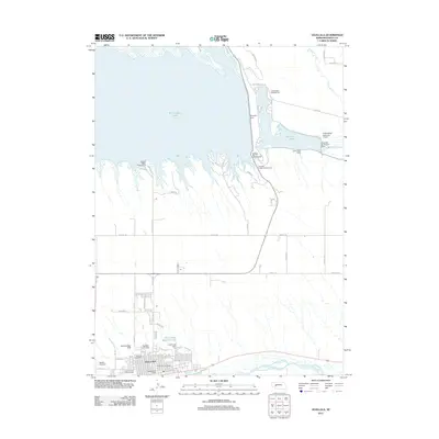
Historical Maps of Ogallala Through Time
8 maps found