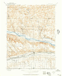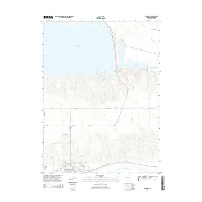
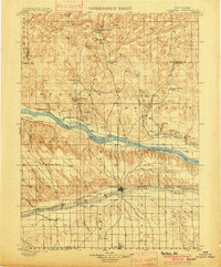
1900 Map of Ogallala
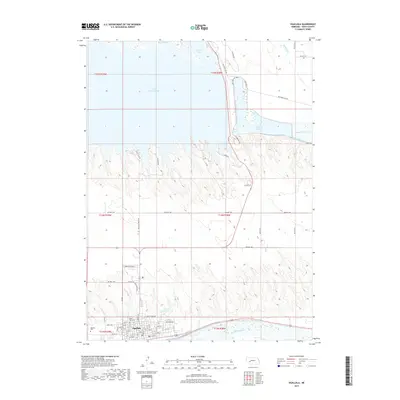
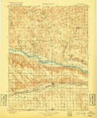
USGS Topo · Published 1933About this map
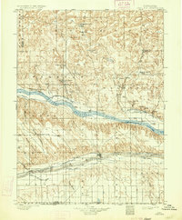
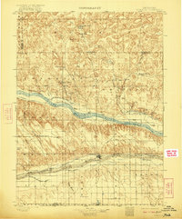
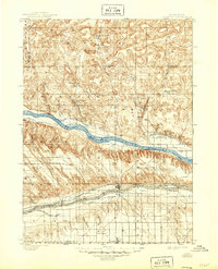
Union Pacific rails and the historic Old California Trail track across this Keith County landscape, marking the vital transportation corridors through the Nebraska Panhandle. The map reveals an era defined by early irrigation and ranching, where the North Platte River is flanked by a complex network of man-made waterways including the Alfalfa Canal, Ogallala Canal, and the Main Line Canal. These infrastructure projects transformed the arid surroundings, supporting a series of family-owned operations such as Kingsley's Ranch and Mannon's Ranch.
Find a feature on this map
45 named features on this map. Tap any name to fly to it.
Don’t see what you’re looking for? This feature index may not catch every label — zoom into the map to look around manually.
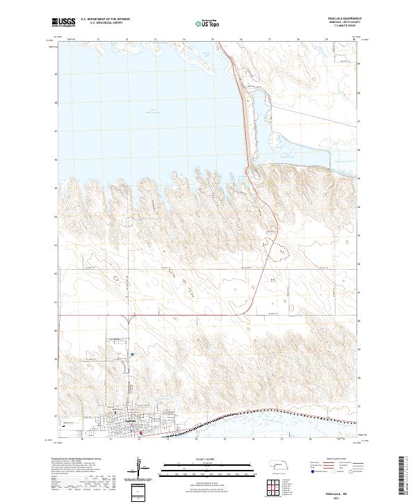
Map Details
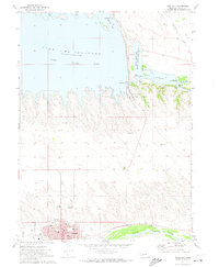
Editions of this 1900 Ogallala Map
6 editions found
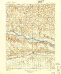
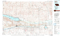
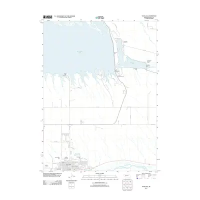
Historical Maps of Ogallala Through Time
8 maps found