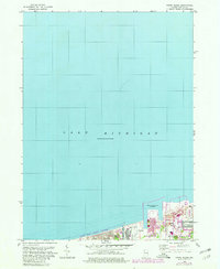
1968 Map of Ogden Dunes
USGS Topo · Published 1980About this map
The southern shoreline of Lake Michigan dominates this survey, showing a period of significant industrial and conservation-focused transition in Porter County. The map details the residential community of Ogden Dunes nestled against the expanding Indiana Dunes National Lakeshore, highlighting the juxtaposition of natural preservation and heavy industry. To the east, the development of the Burns Waterway Harbor and the Burns Harbor area reflects the region's mid-century economic expansion. Portions of Portage and Westchester are shown, with infrastructure like the Burns Waterway and various industrial markers such as a Substa and Conveyor illustrating the functional landscape. This record captures the intricate boundary between public parkland and the burgeoning steel and shipping complexes along the lakefront.
Find a feature on this map
14 named features on this map. Tap any name to fly to it.
Don’t see what you’re looking for? This feature index may not catch every label — zoom into the map to look around manually.
Map Details
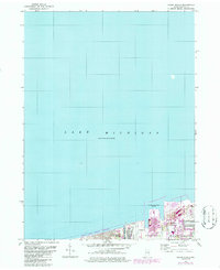
Editions of this 1968 Ogden Dunes Map
2 editions found
Other maps of this area

1900 · Toleston
USGS Topo · 1:62,500

1934 · Porter
USGS Topo · 1:48,000

1940 · Porter
USGS Topo · 1:62,500

1953 · Gary
USGS Topo · 1:24,000

1953 · Garyton
USGS Topo · 1:24,000

1953 · Ogden Dunes
USGS Topo · 1:24,000

1953 · Chesterton
USGS Topo · 1:24,000

1953 · Dune Acres
USGS Topo · 1:24,000

1953 · Chicago
USGS Topo · 1:250,000

1957 · Chicago
USGS Topo · 1:250,000