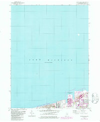
1968 Map of Ogden Dunes
USGS Topo · Published 1986About this map
Lake Michigan dominates this northern Indiana shoreline, where the industrial expansion of the mid-20th century meets protected natural landscapes. The map captures a significant period of development at Burns Harbor, showing the complex infrastructure of the Burns Waterway Harbor alongside a prominent Conveyor and Pipeline network. This industrial footprint stands in contrast to the nearby Indiana Dunes National Lakeshore, reflecting the regional tension between heavy industry and conservation efforts.
Find a feature on this map
12 named features on this map. Tap any name to fly to it.
Don’t see what you’re looking for? This feature index may not catch every label — zoom into the map to look around manually.
Map Details
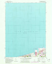
Editions of this 1968 Ogden Dunes Map
2 editions found
Other maps of this area

1900 · Toleston
USGS Topo · 1:62,500

1934 · Porter
USGS Topo · 1:48,000

1940 · Porter
USGS Topo · 1:62,500

1953 · Gary
USGS Topo · 1:24,000

1953 · Garyton
USGS Topo · 1:24,000

1953 · Ogden Dunes
USGS Topo · 1:24,000

1953 · Chesterton
USGS Topo · 1:24,000

1953 · Dune Acres
USGS Topo · 1:24,000

1953 · Chicago
USGS Topo · 1:250,000

1957 · Chicago
USGS Topo · 1:250,000