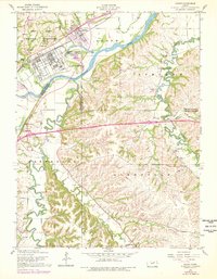
1955 Map of Ogden
USGS Topo · Published 1978About this map
The Fort Riley Military Reservation dominates the landscape of this mid-century survey, specifically the developed area of Camp Funston. The military presence is characterized by a dense grid of facilities, including a large swimming pool, trailer parks, and the Funston Monument located near the Union Pacific railroad tracks. This infrastructure contrasts with the agricultural and riparian character of the surrounding Riley County and Geary County lands.
Find a feature on this map
42 named features on this map. Tap any name to fly to it.
Don’t see what you’re looking for? This feature index may not catch every label — zoom into the map to look around manually.
Map Details
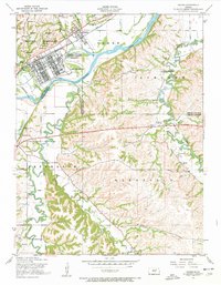
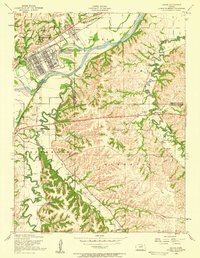
Editions of this 1955 Ogden Map
3 editions found
Other maps of this area

1886 · Junction City
USGS Topo · 1:125,000

1889 · Junction City
USGS Topo · 1:125,000

1889 · Parkerville
USGS Topo · 1:125,000

1894 · Junction City
USGS Topo · 1:125,000

1894 · Parkerville
USGS Topo · 1:125,000

1947 · Manhattan
USGS Topo · 1:62,500

1947 · Fort Riley
USGS Topo · 1:62,500

1950 · Keats
USGS Topo · 1:24,000

1950 · Manhattan
USGS Topo · 1:24,000

1950 · Junction City
USGS Topo · 1:24,000