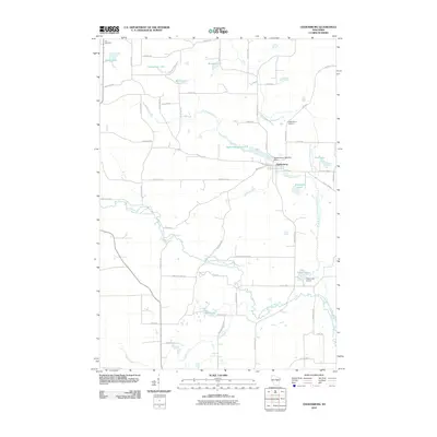
2010 Map of Ogdensburg
USGS Topo · Published 2010About this map
The Ogdensburg settlement sits at the heart of this Waupaca County landscape, defined by the convergence of the North Branch Little Wolf River and the South Branch Little Wolf River. A notable infrastructure feature is the Ogdensburg 1855c325 Dam, which helps create Ogdensburg Pond 9.4 just west of the village center. The area is characterized by numerous small glacial lakes named for local families, including Knutson Lake, Hermanson Lake, Norby Lake, and Shambeau Lake. Beyond the residential streets of the village, like Fulton St, the land transitions into a network of rural roads such as Granite Quarry Rd and Poverty Hill Rd. Genealogists will find the Ogdensburg Cemetery and Iola Cemetery well-marked, while the Casey Lake Airport serves as a small aviation landmark near the south branch of the river.
Find a feature on this map
47 named features on this map. Tap any name to fly to it.
Don’t see what you’re looking for? This feature index may not catch every label — zoom into the map to look around manually.
Map Details
Editions of this 2010 Ogdensburg Map
This is the sole edition of this map. No revisions or reprints were ever made.
Other maps of this area

1955 · Clintonville
USGS Topo · 1:48,000

1955 · Tigerton
USGS Topo · 1:48,000

1955 · Green Bay
USGS Topo · 1:250,000

1956 · Weyauwega
USGS Topo · 1:48,000

1957 · Waupaca
USGS Topo · 1:48,000
1969 · Manawa
USGS Topo · 1:24,000
1969 · Weyauwega
USGS Topo · 1:24,000
1969 · Waupaca
USGS Topo · 1:24,000
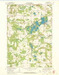
1969 · King
USGS Topo · 1:24,000
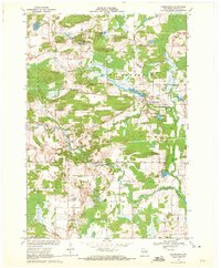
1969 · Ogdensburg
USGS Topo · 1:24,000