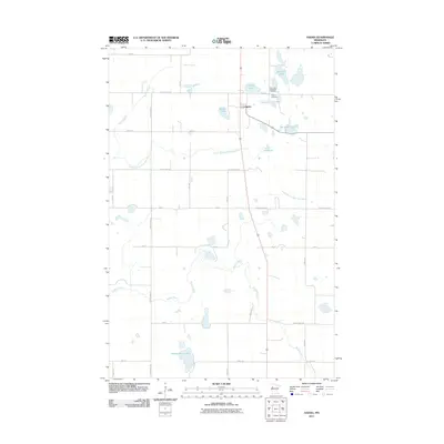
2011 Map of Ogema
USGS Topo · Published 2011About this map
Ogema serves as the central hub of this Becker County landscape, situated at a junction where the prairie transition begins to ripple with the wetlands and glacial lakes characteristic of western Minnesota. The settlement is anchored by local history, visible in the presence of Most Holy Redeemer Cemetery and Ogema Cemetery on its northeastern periphery. The map reveals a complex hydrographic network, including the South Branch Wild Rice River and the Buffalo River, which meander through the township alongside curiously named water bodies like Rat Farm Lake and Dump Ground Lake. This 2011 survey documents a highly organized grid of rural roads, such as County Hwy-16 and Steffl Rd, which navigate around significant basins like Trotterchaud Lake. The geography shown here illustrates the persistent agricultural and riparian patterns that have defined this region of the state for generations.
Find a feature on this map
35 named features on this map. Tap any name to fly to it.
Don’t see what you’re looking for? This feature index may not catch every label — zoom into the map to look around manually.
Map Details
Editions of this 2011 Ogema Map
This is the sole edition of this map. No revisions or reprints were ever made.
Other maps of this area

1918 · Flom
USGS Topo · 1:62,500

1952 · Grand Forks
USGS Topo · 1:250,000

1953 · Fargo
USGS Topo · 1:250,000

1953 · Brainerd
USGS Topo · 1:250,000

1954 · Bemidji
USGS Topo · 1:250,000

1956 · Fargo
USGS Topo · 1:250,000

1956 · Grand Forks
USGS Topo · 1:250,000

1957 · Brainerd
USGS Topo · 1:250,000

1957 · Bemidji
USGS Topo · 1:250,000

1958 · Bemidji
USGS Topo · 1:250,000