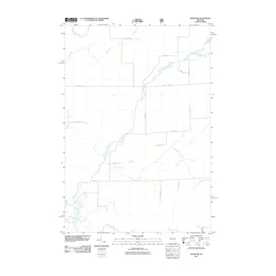
2011 Map of Ogema NW
USGS Topo · Published 2011About this map
The South Fork Jump River meanders across this northern Wisconsin landscape, joined by a complex network of tributaries including Little Mondeaux Creek and Silver Creek. The area is defined by its rural road grid, where long-standing corridors like Meridian Rd and Pennington Rd delineate timber and agricultural tracts. This 2011 survey captures the hydrological importance of the region, where the Mondeaux River and North Fork Jump River flow through the heavy woods of Price County. Family-named routes such as Schalk Rd and Shimon Rd provide researchers with specific geographic markers of local settlement patterns. Much of the western portion is dominated by the County Forest Rd, indicating the preserved timberlands that remain central to the local economy and character.
Find a feature on this map
22 named features on this map. Tap any name to fly to it.
Don’t see what you’re looking for? This feature index may not catch every label — zoom into the map to look around manually.
Map Details
Editions of this 2011 Ogema NW Map
This is the sole edition of this map. No revisions or reprints were ever made.
Other maps of this area

1941 · Kennan
USGS Topo · 1:48,000

1941 · Phillips
USGS Topo · 1:48,000

1943 · Philliips
USGS Topo · 1:48,000

1944 · Ogema
USGS Topo · 1:48,000

1945 · Kennan
USGS Topo · 1:48,000

1945 · Black River
USGS Topo · 1:48,000

1947 · Ogema
USGS Topo · 1:48,000

1949 · Ogema
USGS Topo · 1:48,000

1949 · Jump River Fire Tower
USGS Topo · 1:48,000

1953 · Rice Lake
USGS Topo · 1:250,000