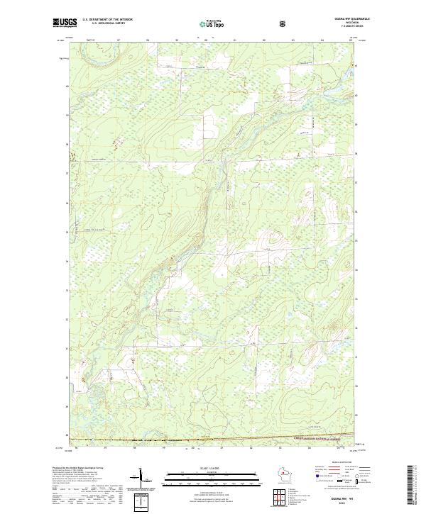
2022 Map of Ogema NW
USGS Topo · Published 2022About this map
The North Fork Jump River and South Fork Jump River wind through this northern Wisconsin landscape, where the border of Price Co and Taylor Co meets within the Chequamegon National Forest. The map reveals a transition between managed timberlands and the complex hydrology of the region, featuring the headwaters of the Mondeaux River and its tributaries like Little Mondeaux Cr and Silver Cr. A network of rural logging and access roads, including Catawba Fire Ln and Meridian Rd, provides a framework for the remote terrain. This 2022 survey documents the contemporary state of these protected forest lands, showing the intersection of local routes like Co Rd I and Pennington Rd amidst the dense network of creeks and wetlands.
Find a feature on this map
34 named features on this map. Tap any name to fly to it.
Don’t see what you’re looking for? This feature index may not catch every label — zoom into the map to look around manually.
Map Details
Editions of this 2022 Ogema NW Map
This is the sole edition of this map. No revisions or reprints were ever made.
Other maps of this area

1941 · Kennan
USGS Topo · 1:48,000

1941 · Phillips
USGS Topo · 1:48,000

1943 · Philliips
USGS Topo · 1:48,000

1944 · Ogema
USGS Topo · 1:48,000

1945 · Kennan
USGS Topo · 1:48,000

1945 · Black River
USGS Topo · 1:48,000

1947 · Ogema
USGS Topo · 1:48,000

1949 · Ogema
USGS Topo · 1:48,000

1949 · Jump River Fire Tower
USGS Topo · 1:48,000

1953 · Rice Lake
USGS Topo · 1:250,000