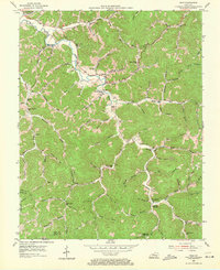
1954 Map of Ogle
USGS Topo · Published 1971About this map
Gooserock and Botto sit along the winding course of Goose Creek, anchoring a rural landscape defined by narrow valleys and numerous small-scale settlements in the mid-1950s. This territory in Clay Co and Knox Co is heavily marked by local educational and religious centers that served isolated creek-side communities, such as Swafford Ch and Ashers Fork Sch. The map reveals a highly decentralized social structure, where geographic features like Tater Knob and The Cut provided natural landmarks between scattered post offices and homes.
Find a feature on this map
91 named features on this map. Tap any name to fly to it.
Don’t see what you’re looking for? This feature index may not catch every label — zoom into the map to look around manually.
Map Details
Editions of this 1954 Ogle Map
2 editions found
Other maps of this area

1886 · Cumberland Gap
USGS Topo · 1:125,000

1888 · Cumberland Gap
USGS Topo · 1:125,000

1891 · Manchester
USGS Topo · 1:125,000

1891 · Cumberland Gap
USGS Topo · 1:125,000

1903 · Pineville
USGS Topo · 1:48,000

1952 · Hima
USGS Topo · 1:24,000

1952 · Fount
USGS Topo · 1:24,000

1952 · Manchester
USGS Topo · 1:24,000

1953 · Big Creek
USGS Topo · 1:24,000

1954 · Barcreek
USGS Topo · 1:24,000