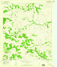
1959 Map of Ogles
USGS Topo · Published 1960About this map
Ogles sits at the heart of this Central Texas landscape, positioned along the Gulf Colorado and Santa Fe railroad line. The settlement pattern is defined by the winding paths of several waterways, including School Creek, Barkley Creek, and Lucy Creek, which carve through the terrain between prominent landmarks like Knight Mountain and the Twin Sister Peaks. A Quarry and a network of pipelines indicate the local industrial activity of the late 1950s, while the Center Cem remains a quiet marker of the area's rural heritage.
Find a feature on this map
16 named features on this map. Tap any name to fly to it.
Don’t see what you’re looking for? This feature index may not catch every label — zoom into the map to look around manually.
Map Details
Editions of this 1959 Ogles Map
2 editions found
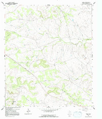
Other maps of this area

1887 · Lampasas
USGS Topo · 1:125,000

1894 · Lampasas
USGS Topo · 1:125,000

1954 · Brownwood
USGS Topo · 1:250,000

1954 · Evant
USGS Topo · 1:62,500

1954 · Lampasas
USGS Topo · 1:62,500

1954 · Lampasas
USGS Topo · 1:24,000
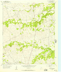
1954 · Flat Top Peak
USGS Topo · 1:24,000
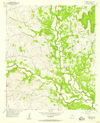
1954 · Adamsville
USGS Topo · 1:24,000
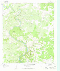
1959 · Gorman Falls
USGS Topo · 1:24,000
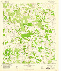
1959 · Antelope Gap
USGS Topo · 1:24,000