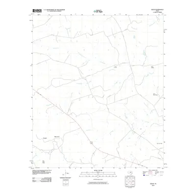
1959 Map of Ogles
USGS Topo · Published 1992About this map
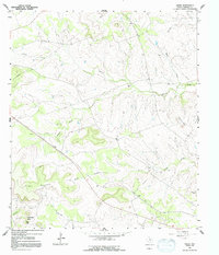
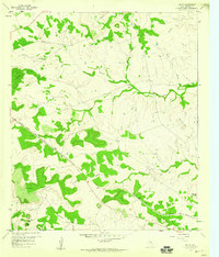
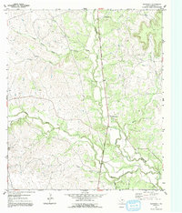
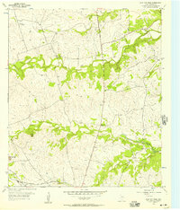
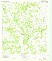
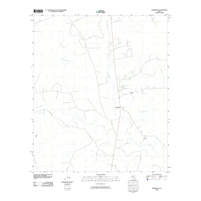
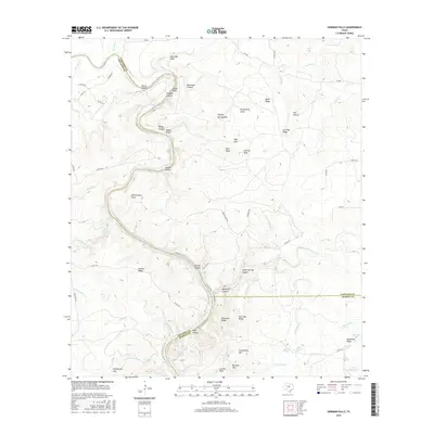
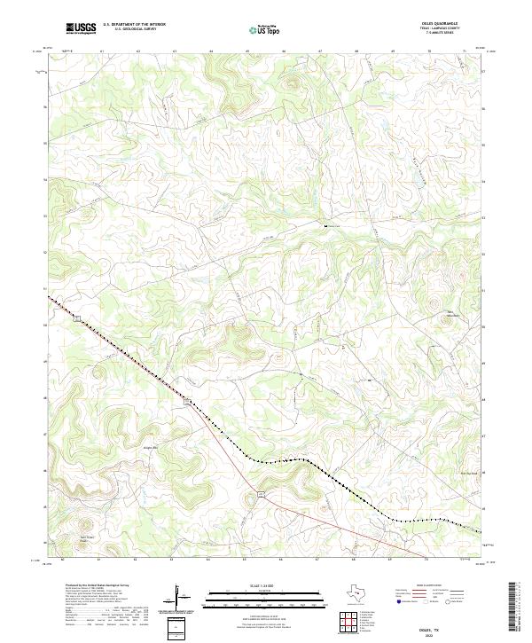
Ogles serves as a focal point for this rural Lampasas County landscape, which was primarily defined by its creek-fed ranching and agricultural potential in the late 1950s. The topography is distinctly marked by prominent elevations including Knight Mountain, the Twin Mts, and the distinctive Twin Sister Peaks. These landmarks provide a framework for a network of waterways such as Barkley Creek, School Creek, and Lucy Creek that carve through the limestone terrain.
Find a feature on this map
16 named features on this map. Tap any name to fly to it.
Don’t see what you’re looking for? This feature index may not catch every label — zoom into the map to look around manually.
Map Details
Editions of this 1959 Ogles Map
2 editions found
Historical Maps of Ogles Through Time
42 maps found
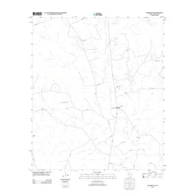
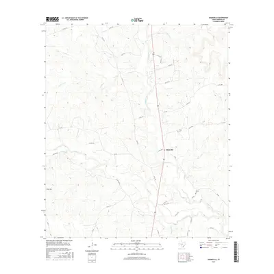
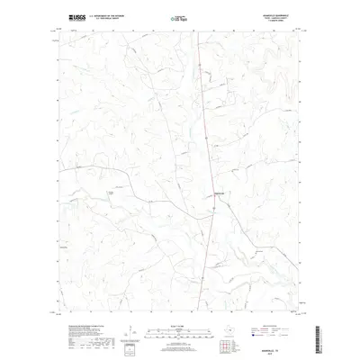
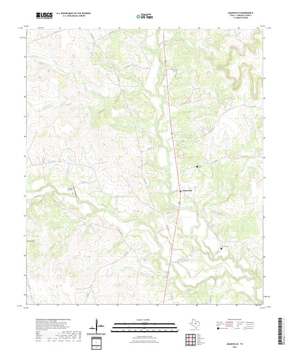
1954 Adamsville
Lampasas County, TX
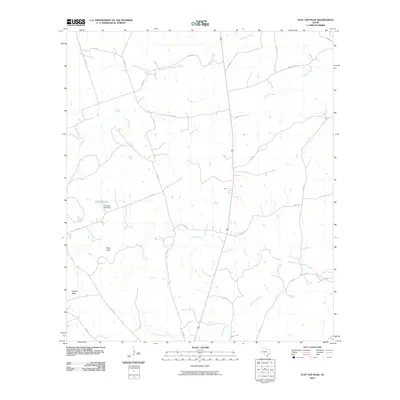
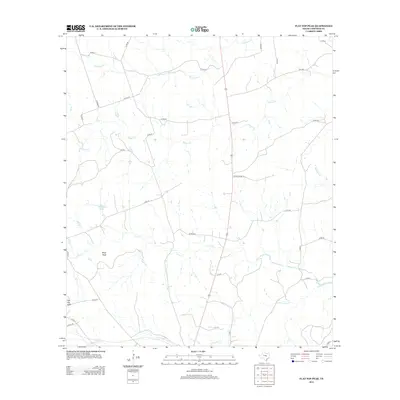
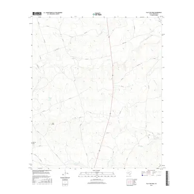
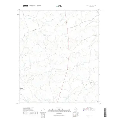
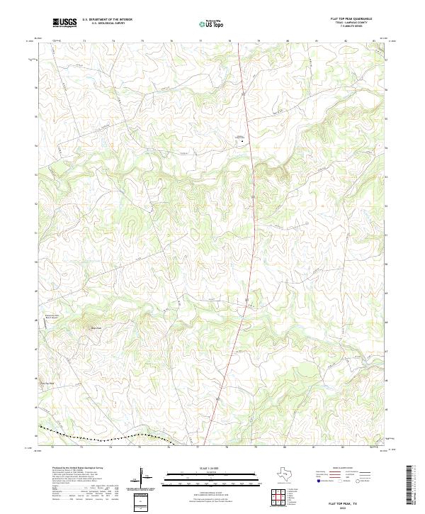
1954 Flat Top Peak
Lampasas County, TX
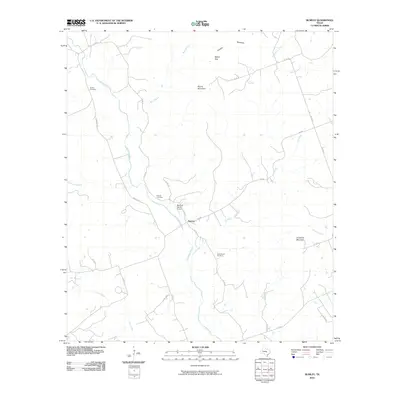
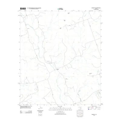
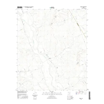
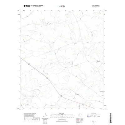
1954 Rumley
Lampasas County, TX
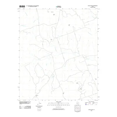
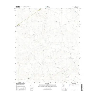
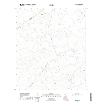
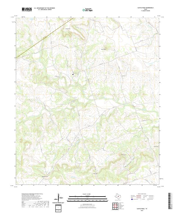
1959 Castle Peak
Lampasas County, TX
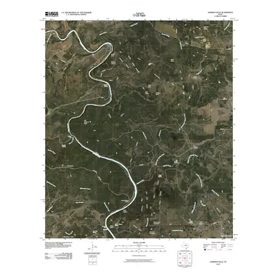
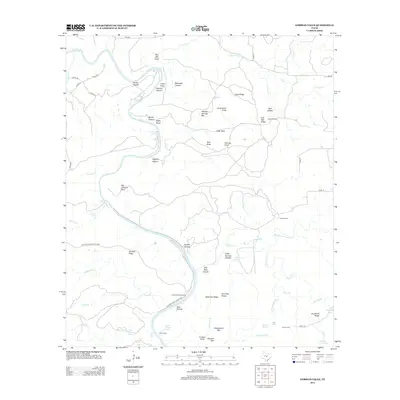
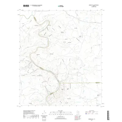
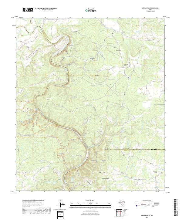
1959 Gorman Falls
Lampasas County, TX
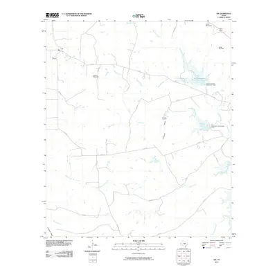
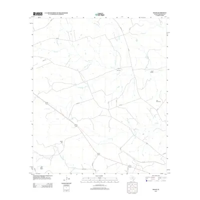
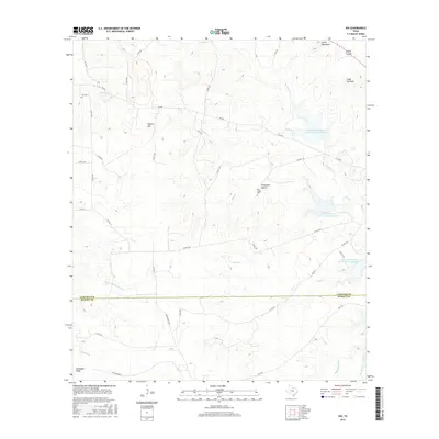
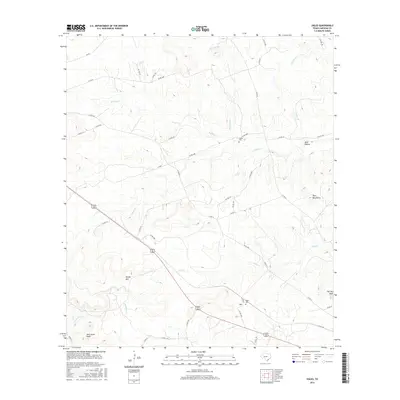
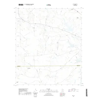
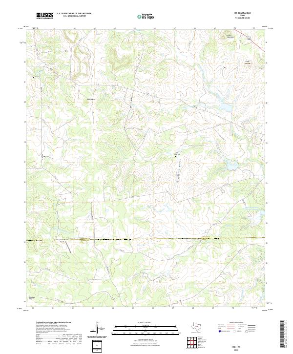
1959 Nix
Lampasas County, TX
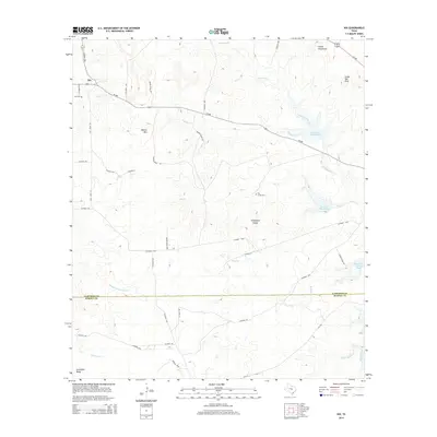
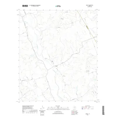
1959 Ogles
Lampasas County, TX
2010 Adamsville
Lampasas County, TX
2010 Castle Peak
Lampasas County, TX
2010 Flat Top Peak
Lampasas County, TX
2010 Gorman Falls
Lampasas County, TX
2010 Nix
Lampasas County, TX
2010 Ogles
Lampasas County, TX
2010 Rumley
Lampasas County, TX
2012 Adamsville
Lampasas County, TX

2012 Castle Peak
Lampasas County, TX
2012 Flat Top Peak
Lampasas County, TX
2012 Ogles
Lampasas County, TX
2012 Rumley
Lampasas County, TX
2013 Gorman Falls
Lampasas County, TX
2014 Nix
Lampasas County, TX
2016 Adamsville
Lampasas County, TX
2016 Castle Peak
Lampasas County, TX
2016 Flat Top Peak
Lampasas County, TX
2016 Gorman Falls
Lampasas County, TX
2016 Nix
Lampasas County, TX
2016 Ogles
Lampasas County, TX
2016 Rumley
Lampasas County, TX
2019 Adamsville
Lampasas County, TX
2019 Castle Peak
Lampasas County, TX
2019 Flat Top Peak
Lampasas County, TX
2019 Gorman Falls
Lampasas County, TX
2019 Nix
Lampasas County, TX
2019 Ogles
Lampasas County, TX
2019 Rumley
Lampasas County, TX
2022 Adamsville
Lampasas County, TX
2022 Castle Peak
Lampasas County, TX
2022 Flat Top Peak
Lampasas County, TX
2022 Gorman Falls
Lampasas County, TX
2022 Nix
Lampasas County, TX
2022 Ogles
Lampasas County, TX
2022 Rumley
Lampasas County, TX