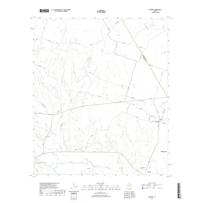
2019 Map of Oglesby
USGS Topo · Published 2019About this map
Oglesby and McGregor anchor this Central Texas landscape near the border of Coryell Co and McLennan Co. The terrain is defined by the winding course of the Leon River in the south and a network of drainages including Coryell Cr and Pew Br. This 2019 survey shows the rural character of the region, where numerous family and community landmarks are preserved. Genealogists will find several notable burial sites such as Blackfoot Cem, Lamb Cem, and Post Oak Cem near the small settlement of Cavitt. The local infrastructure is shaped by a grid of county roads and named routes like Pumpkin Center Rd and High Bridge Rd, reflecting the enduring agricultural and ranching patterns of the Texas blackland prairies. The intersection of rail-side settlements and natural watercourses like Tonk Cr and Station Cr illustrates the historical development of these small communities.
Find a feature on this map
63 named features on this map. Tap any name to fly to it.
Don’t see what you’re looking for? This feature index may not catch every label — zoom into the map to look around manually.
Map Details
Editions of this 2019 Oglesby Map
This is the sole edition of this map. No revisions or reprints were ever made.
Other maps of this area

1888 · Meridian
USGS Topo · 1:125,000

1892 · Temple
USGS Topo · 1:125,000

1892 · Waco
USGS Topo · 1:125,000

1894 · Meridian
USGS Topo · 1:125,000

1894 · Gatesville
USGS Topo · 1:125,000

1920 · Waco
USGS Topo · 1:125,000

1924 · Temple 2-C
USGS Topo · 1:48,000

1931 · Valley Mills
USGS Topo · 1:62,500

1931 · Mc Gregor
USGS Topo · 1:62,500

1947 · Oglesby
USGS Topo · 1:24,000