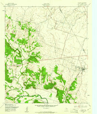
1957 Map of Oglesby
USGS Topo · Published 1961About this map
The St Louis Southwestern railroad corridor anchors the settlement of Oglesby, serving as the primary transport artery through this portion of the Texas landscape in the late 1950s. The terrain is defined by the winding course of the Leon River to the south and the many branches of Coryell Creek, which cut through the wooded breaks. Local community life is centered on dispersed country churches and burial grounds, including Coryell Ch, Post Oak Ch, and the Blackfoot Cem.
Find a feature on this map
24 named features on this map. Tap any name to fly to it.
Don’t see what you’re looking for? This feature index may not catch every label — zoom into the map to look around manually.
Map Details
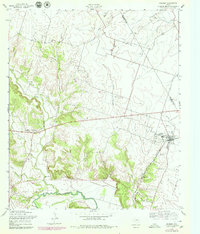
Editions of this 1957 Oglesby Map
2 editions found
Other maps of this area

1888 · Meridian
USGS Topo · 1:125,000

1892 · Temple
USGS Topo · 1:125,000

1892 · Waco
USGS Topo · 1:125,000

1894 · Meridian
USGS Topo · 1:125,000

1894 · Gatesville
USGS Topo · 1:125,000

1920 · Waco
USGS Topo · 1:125,000

1924 · Temple 2-C
USGS Topo · 1:48,000

1931 · Valley Mills
USGS Topo · 1:62,500

1931 · Mc Gregor
USGS Topo · 1:62,500

1947 · Oglesby
USGS Topo · 1:24,000