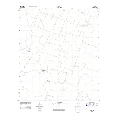
2010 Map of Ohio
USGS Topo · Published 2010About this map
Cowhouse Creek and Plum Creek snake through this rural Hamilton County landscape, defining the local topography and historical crossing points. The small settlement of Ohio and the nearby Ballard Crossing serve as central points in a network of county roads, including FM 1241 and Calhoun Rd. This 2010 survey highlights the persistent rural infrastructure of the region, where older landmarks like the Jeffries Bridge and the Slab Crossing over the creek remain key navigation markers for residents and researchers.
Find a feature on this map
38 named features on this map. Tap any name to fly to it.
Don’t see what you’re looking for? This feature index may not catch every label — zoom into the map to look around manually.
Map Details
Editions of this 2010 Ohio Map
This is the sole edition of this map. No revisions or reprints were ever made.
Other maps of this area

1887 · Lampasas
USGS Topo · 1:125,000

1888 · Hamilton
USGS Topo · 1:125,000

1888 · Meridian
USGS Topo · 1:125,000

1894 · Hamilton
USGS Topo · 1:125,000

1894 · Meridian
USGS Topo · 1:125,000

1894 · Lampasas
USGS Topo · 1:125,000

1894 · Gatesville
USGS Topo · 1:125,000

1947 · Purmela
USGS Topo · 1:62,500

1947 · Purmela
USGS Topo · 1:24,000

1954 · Brownwood
USGS Topo · 1:250,000