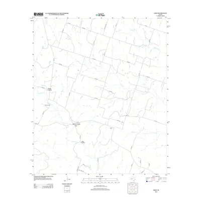
2012 Map of Ohio
USGS Topo · Published 2012About this map
Cowhouse Cr winds through this Central Texas landscape, where several low-water crossings defined the rural transportation network of Hamilton County. The small community of Ohio serves as a central hub for the surrounding ranchlands, situated near Ballard Crossing along the creek. The area's history of local education is anchored by the Liberty School, located east of the main settlement.
Find a feature on this map
42 named features on this map. Tap any name to fly to it.
Don’t see what you’re looking for? This feature index may not catch every label — zoom into the map to look around manually.
Map Details
Editions of this 2012 Ohio Map
This is the sole edition of this map. No revisions or reprints were ever made.
Other maps of this area
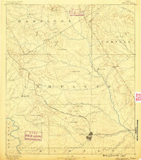
1887 · Lampasas
USGS Topo · 1:125,000
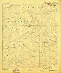
1888 · Hamilton
USGS Topo · 1:125,000
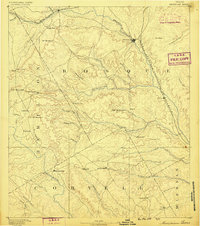
1888 · Meridian
USGS Topo · 1:125,000
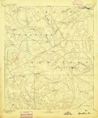
1894 · Hamilton
USGS Topo · 1:125,000
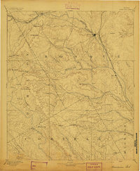
1894 · Meridian
USGS Topo · 1:125,000
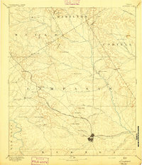
1894 · Lampasas
USGS Topo · 1:125,000
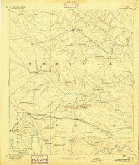
1894 · Gatesville
USGS Topo · 1:125,000
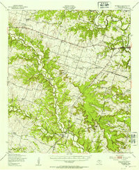
1947 · Purmela
USGS Topo · 1:62,500
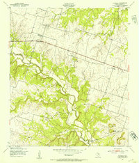
1947 · Purmela
USGS Topo · 1:24,000

1954 · Brownwood
USGS Topo · 1:250,000