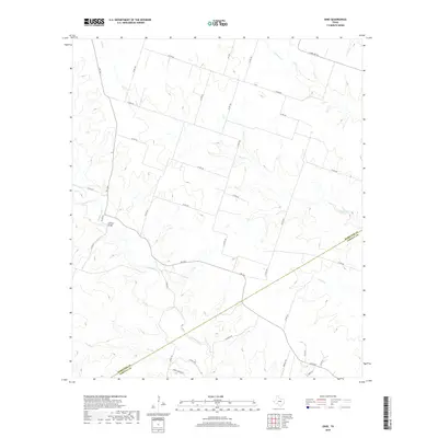
2019 Map of Ohio
USGS Topo · Published 2019About this map
The borderlands of Hamilton and Coryell Counties are defined by a network of seasonal watercourses and rural corridors. Jeffries Bridge serves as a key crossing point over Cowhouse Cr in the western portion of the quadrangle, where the terrain is carved by the drainages of Henderson Cr and Dry Br. The landscape is largely agricultural, marked by a systematic grid of county roads such as Calhoun Rd and Bunnell Rd that connect isolated ranching properties. In the northern reaches, Plum Cr and Mustang Cr flow through the territory, illustrating the hydrological pattern that dictates land use in this part of Texas. Modern infrastructure like FM 1241 and Duroc Ranch Rd follows the contours of the limestone-underlain prairie, providing a detailed view of the rural settlement pattern and property divisions existing in the late 2010s.
Find a feature on this map
38 named features on this map. Tap any name to fly to it.
Don’t see what you’re looking for? This feature index may not catch every label — zoom into the map to look around manually.
Map Details
Editions of this 2019 Ohio Map
This is the sole edition of this map. No revisions or reprints were ever made.
Other maps of this area
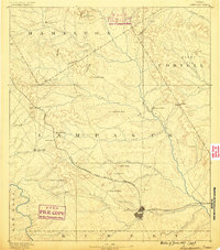
1887 · Lampasas
USGS Topo · 1:125,000
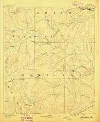
1888 · Hamilton
USGS Topo · 1:125,000
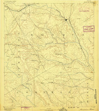
1888 · Meridian
USGS Topo · 1:125,000
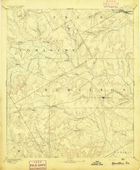
1894 · Hamilton
USGS Topo · 1:125,000
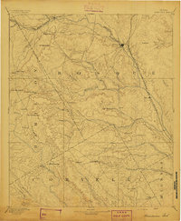
1894 · Meridian
USGS Topo · 1:125,000
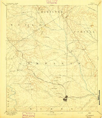
1894 · Lampasas
USGS Topo · 1:125,000
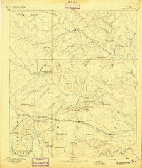
1894 · Gatesville
USGS Topo · 1:125,000
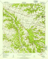
1947 · Purmela
USGS Topo · 1:62,500
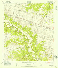
1947 · Purmela
USGS Topo · 1:24,000

1954 · Brownwood
USGS Topo · 1:250,000