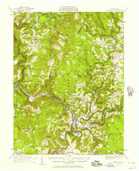
1977 Map of Ohiopyle
USGS Topo · Published 1979About this map
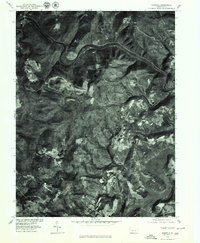
Youghiogheny River carves a deep, sinuous path through the terrain of Fayette County, anchoring a landscape defined by dramatic elevation changes. This orthophotoquad, created from 1977 aerial imagery, reveals the physical character of Ohiopyle and its surrounding heights, including the prominent Sugarloaf Knob and the plateau of Flat Rock. The imagery captures the visual reality of the mid-1970s, where dense forest cover meets scattered clearings and small settlements like Summerfield to the south. Further downstream, the widening waters of Youghiogheny Lake illustrate the transition from the river's narrow, winding gorge to broader reservoir reaches. This specific view, produced in cooperation with the Soil Conservation Service, emphasizes the land use patterns and topographical textures that topographical line maps often abstract.
Find a feature on this map
6 named features on this map. Tap any name to fly to it.
Don’t see what you’re looking for? This feature index may not catch every label — zoom into the map to look around manually.
Map Details
Editions of this 1977 Ohiopyle Map
This is the sole edition of this map. No revisions or reprints were ever made.
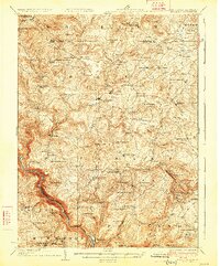
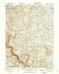
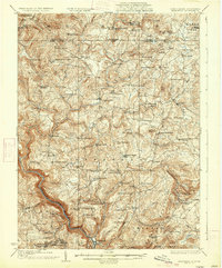
Other maps of this area

1900 · Accident
USGS Topo · 1:62,500

1900 · Uniontown
USGS Topo · 1:62,500

1904 · Bruceton
USGS Topo · 1:62,500
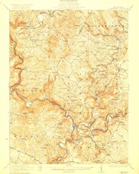
1922 · Confluence
USGS Topo · 1:62,500
1926 · Bruceton
USGS Topo · 1:62,500
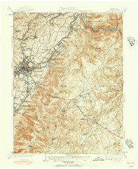
1931 · Uniontown
USGS Topo · 1:62,500
1931 · Confluence
USGS Topo · 1:62,500
1931 · Bruceton Mills
USGS Topo · 1:62,500
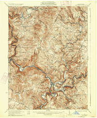
1933 · Confluence
USGS Topo · 1:62,500
1933 · Bruceton
USGS Topo · 1:62,500
Featured Places
- Ohiopyle, PA
- Addison Township, PA
- Lower Turkeyfoot Township, PA
- Wharton Township, PA
- Stewart Township, PA