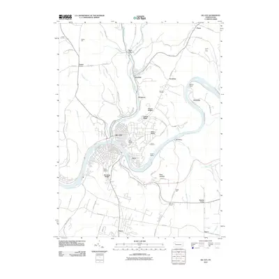
2010 Map of Oil City
USGS Topo · Published 2010About this map
Oil City is defined by the significant confluence of Oil Creek and the Allegheny River, a landscape inextricably linked to the region's industrial heritage. The residential patterns show a series of distinct neighborhoods and suburban developments such as Hasson Heights, Colonial Village, and Woodland Heights, which cling to the high ground above the river valleys. Local family history is preserved in numerous burial grounds, including the Saint Josephs and Calvary sites near the city center, and the more remote Lamey Cemetery to the northwest. Beyond the urban core, the map reveals a transition to rural crossroads and small settlements like Rouseville and Plumer, where the Plumer Fire Tower stands as a landmark of forest management. To the south, the landscape opens up around Seneca and the Darvassy Airport, illustrating the continued expansion of the community away from the traditional riverfront hubs.
Find a feature on this map
89 named features on this map. Tap any name to fly to it.
Don’t see what you’re looking for? This feature index may not catch every label — zoom into the map to look around manually.
Map Details
Editions of this 2010 Oil City Map
This is the sole edition of this map. No revisions or reprints were ever made.
Other maps of this area

1909 · Franklin
USGS Topo · 1:62,500

1911 · Franklin
USGS Topo · 1:62,500

1922 · Oil City
USGS Topo · 1:48,000

1924 · Oil City
USGS Topo · 1:62,500

1927 · Townville
USGS Topo · 1:48,000

1927 · Titusville
USGS Topo · 1:62,500

1932 · Townville
USGS Topo · 1:62,500

1933 · Titusville
USGS Topo · 1:62,500

1943 · Oil City
USGS Topo · 1:62,500

1945 · Townville
USGS Topo · 1:62,500