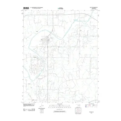
2010 Map of Oilton
USGS Topo · Published 2010About this map
Oilton serves as the central hub of this northern Oklahoma landscape, where the Cimarron River winds through a terrain shaped by rural roads and scattered small communities. The settlement pattern reveals the historic footprint of local hamlets including Markham, Pemeta, and Frey, which sit south of the river while Player is situated to the north. This distribution of named localities suggests a legacy of early 20th-century development likely tied to the region's resource extraction history.
Find a feature on this map
45 named features on this map. Tap any name to fly to it.
Don’t see what you’re looking for? This feature index may not catch every label — zoom into the map to look around manually.
Map Details
Editions of this 2010 Oilton Map
This is the sole edition of this map. No revisions or reprints were ever made.
Other maps of this area

1901 · Nuyaka
USGS Topo · 1:125,000

1912 · Hominy
USGS Topo · 1:125,000

1915 · Hominy
USGS Topo · 1:125,000

1916 · Bristow
USGS Topo · 1:62,500

1929 · Yale
USGS Topo · 1:62,500

1931 · Drumright
USGS Topo · 1:62,500

1932 · Yale
USGS Topo · 1:62,500

1954 · Oklahoma City
USGS Topo · 1:250,000

1955 · Enid
USGS Topo · 1:250,000

1957 · Oklahoma City
USGS Topo · 1:250,000