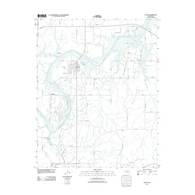
2012 Map of Oilton
USGS Topo · Published 2012About this map
The Cimarron River winds through this central Oklahoma landscape, cutting a wide, sandy path past the town of Oilton. This 2012 survey illustrates the grid of the town center, centered on W Main St and E Main St, and its surrounding rural infrastructure. To the south, smaller settlements like Markham, Frey, and Perneta appear as quiet nodes in a dense network of county roads such as W 71st St S and W 91st St S. The terrain is punctuated by local landmarks including Monitor Hill and the Hilltop Airport near the northern boundary. Genealogists and local historians will find several well-documented burial sites including Brooks Cem, N Highland Cem, and Oak Hill Cem, providing clear spatial context for families from the Drumright vicinity. Numerous creek systems, such as Buckeye Cr and Euchee Cr, define the drainage patterns across this agricultural and oil-producing region.
Find a feature on this map
66 named features on this map. Tap any name to fly to it.
Don’t see what you’re looking for? This feature index may not catch every label — zoom into the map to look around manually.
Map Details
Editions of this 2012 Oilton Map
This is the sole edition of this map. No revisions or reprints were ever made.
Other maps of this area
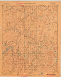
1901 · Nuyaka
USGS Topo · 1:125,000
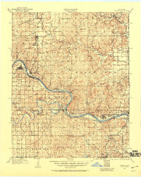
1912 · Hominy
USGS Topo · 1:125,000
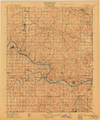
1915 · Hominy
USGS Topo · 1:125,000
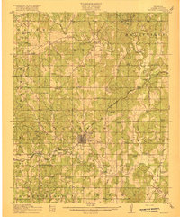
1916 · Bristow
USGS Topo · 1:62,500
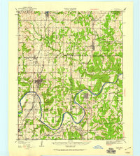
1929 · Yale
USGS Topo · 1:62,500
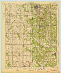
1931 · Drumright
USGS Topo · 1:62,500
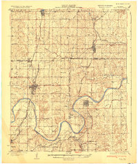
1932 · Yale
USGS Topo · 1:62,500
1954 · Oklahoma City
USGS Topo · 1:250,000

1955 · Enid
USGS Topo · 1:250,000
1957 · Oklahoma City
USGS Topo · 1:250,000