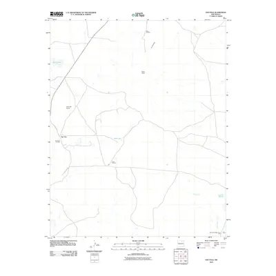
2010 Map of Ojo Feliz
USGS Topo · Published 2010About this map
Ojo Feliz sits at the heart of this Mora County landscape, where the high plains meet the distinctive elevations of the Sangre de Cristo foothills. The settlement pattern is defined by traditional landmarks such as San Yasidro Cemetery and Casias Cemetery, which anchor the local community history. Water, a critical resource in this arid environment, is noted at Apache Lake, Sand Lake, and the ephemeral Laguna Salada. Significant topographic features like Cerro Pelon and Cerro del Amole rise above the drainage of Wolf Creek, illustrating the natural barriers and vantage points of the region.
Find a feature on this map
14 named features on this map. Tap any name to fly to it.
Don’t see what you’re looking for? This feature index may not catch every label — zoom into the map to look around manually.
Map Details
Editions of this 2010 Ojo Feliz Map
This is the sole edition of this map. No revisions or reprints were ever made.
Other maps of this area

1889 · Las Vegas
USGS Topo · 1:125,000

1891 · Las Vegas
USGS Topo · 1:125,000

1892 · Watrous
USGS Topo · 1:125,000

1893 · Las Vegas
USGS Topo · 1:125,000

1894 · Watrous
USGS Topo · 1:125,000

1954 · Santa Fe
USGS Topo · 1:250,000

1954 · Raton
USGS Topo · 1:250,000

1958 · Raton
USGS Topo · 1:250,000

1958 · Santa Fe
USGS Topo · 1:250,000

1963 · Fort Union
USGS Topo · 1:24,000