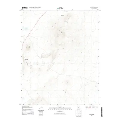
2013 Map of Ojo Feliz
USGS Topo · Published 2013About this map
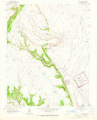
Ojo Feliz sits as a high-altitude settlement in the northern New Mexico landscape, centered around the junction of NM-442 and Ojo Feliz Rd. The terrain is dominated by prominent volcanic features and ridges, most notably the massive Cerro Pelon and the smaller Cerro del Amole to its west. This 2013 data illustrates a ranching and rural landscape where water resources are critical, evidenced by the Pelon Windmill and several intermittent water bodies like Apache Lake, Sand Lake, and the Laguna Salada in the southeastern corner. For genealogists and local historians, the map identifies specific burial sites including San Ysidro Cem and Caslas Cem, which anchor the long-standing community ties to this part of Mora County. The drainage patterns of Wolf Cr further define the land use in this high-desert environment, showing how topography and limited water sources have shaped the distribution of small-scale infrastructure.
Find a feature on this map
13 named features on this map. Tap any name to fly to it.
Don’t see what you’re looking for? This feature index may not catch every label — zoom into the map to look around manually.
Map Details
Editions of this 2013 Ojo Feliz Map
This is the sole edition of this map. No revisions or reprints were ever made.
Other maps of this area
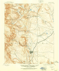
1889 · Las Vegas
USGS Topo · 1:125,000
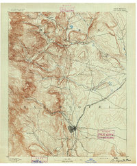
1891 · Las Vegas
USGS Topo · 1:125,000
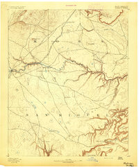
1892 · Watrous
USGS Topo · 1:125,000
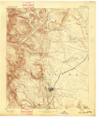
1893 · Las Vegas
USGS Topo · 1:125,000
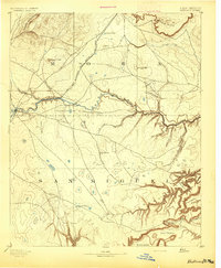
1894 · Watrous
USGS Topo · 1:125,000
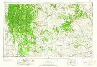
1954 · Santa Fe
USGS Topo · 1:250,000

1954 · Raton
USGS Topo · 1:250,000

1958 · Raton
USGS Topo · 1:250,000
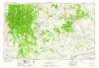
1958 · Santa Fe
USGS Topo · 1:250,000
1963 · Fort Union
USGS Topo · 1:24,000