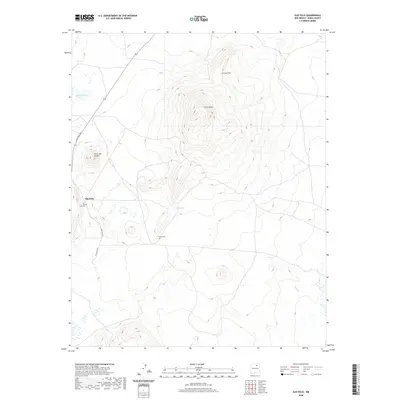
2020 Map of Ojo Feliz
USGS Topo · Published 2020About this map
Ojo Feliz sits at the western base of a dramatic upland massif in Mora County, where the plains meet the rising terrain of Cerro Pelon and the sharp ridge of La Cuchilla. The settlement pattern is largely defined by the course of Ojo Feliz Rd, which skirts the edge of the high ground. Local genealogy is anchored by the San Yasidro Cem near the town center and the more isolated Casias Cem located to the southeast, suggesting the enduring footprint of family ranching and small-scale habitation in this corner of New Mexico.
Find a feature on this map
10 named features on this map. Tap any name to fly to it.
Don’t see what you’re looking for? This feature index may not catch every label — zoom into the map to look around manually.
Map Details
Editions of this 2020 Ojo Feliz Map
This is the sole edition of this map. No revisions or reprints were ever made.
Other maps of this area

1889 · Las Vegas
USGS Topo · 1:125,000

1891 · Las Vegas
USGS Topo · 1:125,000

1892 · Watrous
USGS Topo · 1:125,000

1893 · Las Vegas
USGS Topo · 1:125,000

1894 · Watrous
USGS Topo · 1:125,000

1954 · Santa Fe
USGS Topo · 1:250,000

1954 · Raton
USGS Topo · 1:250,000

1958 · Raton
USGS Topo · 1:250,000

1958 · Santa Fe
USGS Topo · 1:250,000

1963 · Fort Union
USGS Topo · 1:24,000