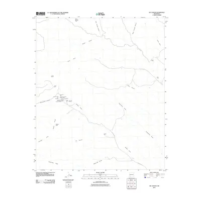
2010 Map of OK Canyon
USGS Topo · Published 2010About this map
Cookes Range defines the high-desert character of this Grant County landscape, where mineral extraction once drove local activity. The concentration of mining claims near Cookes Peak is particularly dense, including operations like the Greenleaf 3 Mine, Silver Cave Number 2, and the Surprise and Mahoney Number 1 Shaft. These sites, along with the Cooks Peak Cemetery, mark the location of a former mining district that was once central to the region's economy.
Find a feature on this map
32 named features on this map. Tap any name to fly to it.
Don’t see what you’re looking for? This feature index may not catch every label — zoom into the map to look around manually.
Map Details
Editions of this 2010 OK Canyon Map
This is the sole edition of this map. No revisions or reprints were ever made.
Other maps of this area

1899 · Deming
USGS Topo · 1:125,000

1915 · Deming
USGS Topo · 1:125,000

1955 · Las Cruces
USGS Topo · 1:250,000

1956 · Dwyer
USGS Topo · 1:62,500

1958 · Las Cruces
USGS Topo · 1:250,000

1962 · Lake Valley
USGS Topo · 1:62,500

1964 · Goat Ridge
USGS Topo · 1:24,000

1964 · Florida
USGS Topo · 1:24,000

1964 · Massacre Peak
USGS Topo · 1:24,000

1982 · Hatch
USGS Topo · 1:100,000