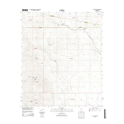
2013 Map of OK Canyon
USGS Topo · Published 2013About this map
Cookes Peak dominates the western skyline of this New Mexico desert landscape, serving as a primary landmark within the larger Cookes Range. The terrain is defined by a complex network of ephemeral drainages and canyons, including the namesake Ok Canyon and Provinger Canyon. Sparse but critical water sources are scattered throughout the region, marked by labels such as Mule Springs, Burro Spring, and Walnut Spring.
Find a feature on this map
37 named features on this map. Tap any name to fly to it.
Don’t see what you’re looking for? This feature index may not catch every label — zoom into the map to look around manually.
Map Details
Editions of this 2013 OK Canyon Map
This is the sole edition of this map. No revisions or reprints were ever made.
Other maps of this area
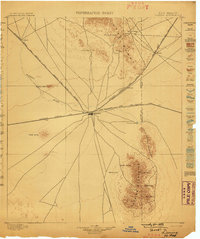
1899 · Deming
USGS Topo · 1:125,000
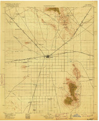
1915 · Deming
USGS Topo · 1:125,000
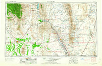
1955 · Las Cruces
USGS Topo · 1:250,000
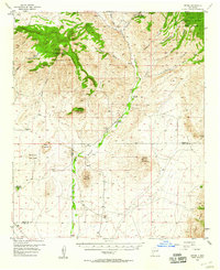
1956 · Dwyer
USGS Topo · 1:62,500
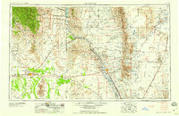
1958 · Las Cruces
USGS Topo · 1:250,000
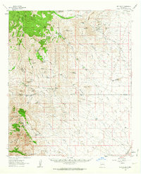
1962 · Lake Valley
USGS Topo · 1:62,500
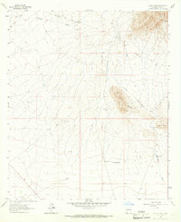
1964 · Goat Ridge
USGS Topo · 1:24,000
1964 · Florida
USGS Topo · 1:24,000
1964 · Massacre Peak
USGS Topo · 1:24,000
1982 · Hatch
USGS Topo · 1:100,000