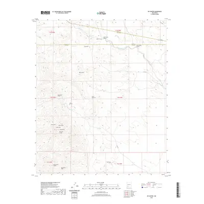
2020 Map of OK Canyon
USGS Topo · Published 2020About this map
Cookes Peak serves as the dominant landmark for this high-altitude corner of the Southwest, where the borders of Sierra, Grant, and Luna counties converge. The landscape is defined by a series of deep drainage systems and high ridges, including the Cookes Range and the prominent Rattlesnake Ridge. For genealogists and local historians, the presence of the Cookes Peak Cem near the center of the range provides a vital connection to the early residents of this arid territory. Water sources are critical features in this environment, with several named springs such as Mule Springs, Riley Spring, and Shale Spring scattered across the rugged terrain. The map also traces a network of deep-cut draws and canyons, from the extensive Ok Canyon in the south to Montezuma Canyon and Black Canyon further north.
Find a feature on this map
36 named features on this map. Tap any name to fly to it.
Don’t see what you’re looking for? This feature index may not catch every label — zoom into the map to look around manually.
Map Details
Editions of this 2020 OK Canyon Map
This is the sole edition of this map. No revisions or reprints were ever made.
Other maps of this area

1899 · Deming
USGS Topo · 1:125,000

1915 · Deming
USGS Topo · 1:125,000

1955 · Las Cruces
USGS Topo · 1:250,000

1956 · Dwyer
USGS Topo · 1:62,500

1958 · Las Cruces
USGS Topo · 1:250,000

1962 · Lake Valley
USGS Topo · 1:62,500

1964 · Goat Ridge
USGS Topo · 1:24,000

1964 · Florida
USGS Topo · 1:24,000

1964 · Massacre Peak
USGS Topo · 1:24,000

1982 · Hatch
USGS Topo · 1:100,000