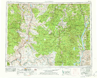
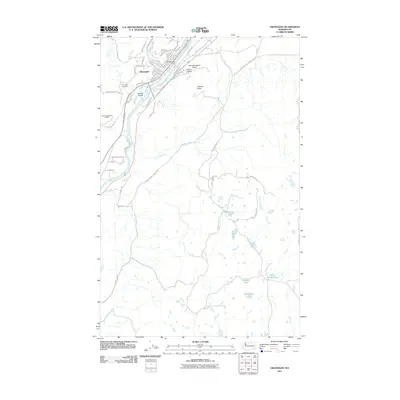
1954 Map of Okanogan
USGS Topo · Published 1978About this map
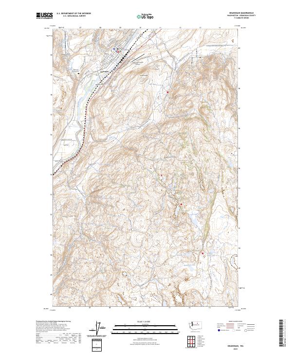
The Okanogan River valley and the high country of the Colville National Forest define this mid-century portrait of North Central Washington. Following a revision in 1963, the map illustrates a landscape shaped by the Columbia River and the significant reach of the Colville Indian Reservation. Transportation and industry are centered on the Great Northern RR corridor, which connects riverside communities like Oroville and Omak. The region's mining legacy is visible through identified sites such as the Mountain Lion Mine and Knob Hill Mine near the northern border.
Find a feature on this map
222 named features on this map. Tap any name to fly to it.
Don’t see what you’re looking for? This feature index may not catch every label — zoom into the map to look around manually.
Map Details
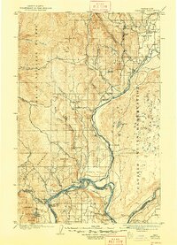
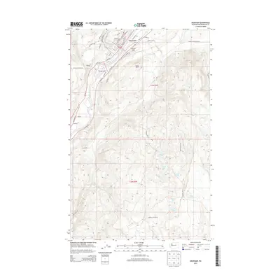
Editions of this 1954 Okanogan Map
2 editions found

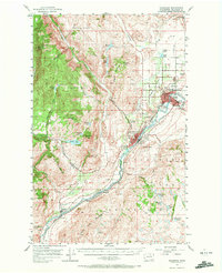
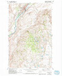
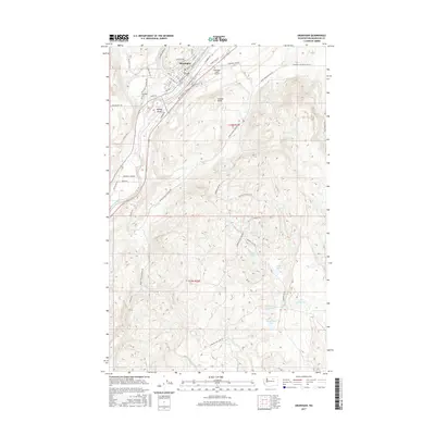
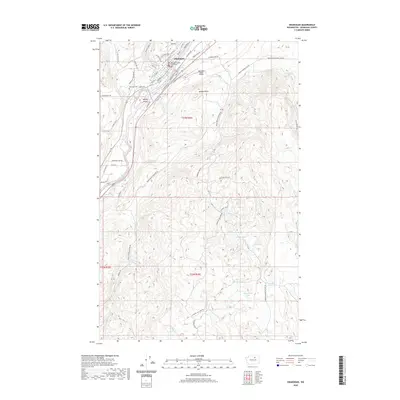
Historical Maps of Omak Through Time
10 maps found
1905 Okanogan
Okanogan County, WA
1954 Okanogan
Okanogan County, WA
1957 Okanogan
Okanogan County, WA

1958 Okanogan
Okanogan County, WA
1980 Okanogan
Okanogan County, WA
2011 Okanogan
Okanogan County, WA
2014 Okanogan
Okanogan County, WA
2017 Okanogan
Okanogan County, WA
2020 Okanogan
Okanogan County, WA
2023 Okanogan
Okanogan County, WA