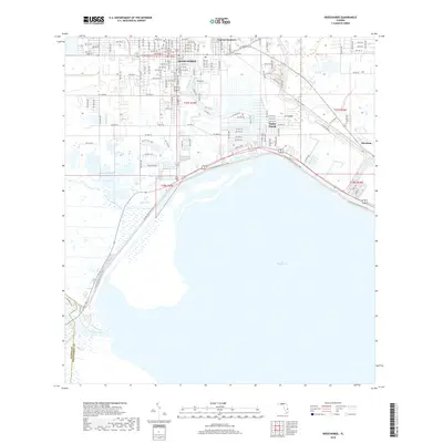
2018 Map of Okeechobee
USGS Topo · Published 2018About this map
Okeechobee serves as the focal point for this survey, situated at the northern reaches of the massive Lake Okeechobee. The grid of the city is well-established, showing a transition from the dense downtown streets such as NW Park St and Center St into the surrounding neighborhoods of Cypress Quarters and the outlying community of Sherman. This 2018 data provides a clear view of how the modern infrastructure interacts with the historic hydrological features of the region, including the discharge points for the Kissimmee River and Taylor Creek. Genealogists may find interest in the location of Liveoak Park Memorial Cem within the city limits. The shoreline is characterized by significant natural features like Eagle Bay and drainage ways such as Mosquito Creek, illustrating the delicate balance between urban expansion and the Florida wetlands environment.
Find a feature on this map
77 named features on this map. Tap any name to fly to it.
Don’t see what you’re looking for? This feature index may not catch every label — zoom into the map to look around manually.
Map Details
Editions of this 2018 Okeechobee Map
This is the sole edition of this map. No revisions or reprints were ever made.
Other maps of this area
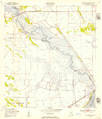
1952 · Okeechobee NW
USGS Topo · 1:24,000
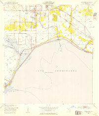
1952 · Okeechobee
USGS Topo · 1:24,000
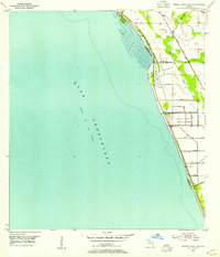
1953 · Okeechobee 4 SW
USGS Topo · 1:24,000
1953 · Okeechobee SW
USGS Topo · 1:24,000
1953 · Okeechobee 4 NW
USGS Topo · 1:24,000
1953 · Taylor Creek SW
USGS Topo · 1:24,000
1953 · Okeechobee 1 SW
USGS Topo · 1:24,000
1953 · Taylor Creek SE
USGS Topo · 1:24,000
1956 · Fort Pierce
USGS Topo · 1:250,000
1958 · Fort Pierce
USGS Topo · 1:250,000