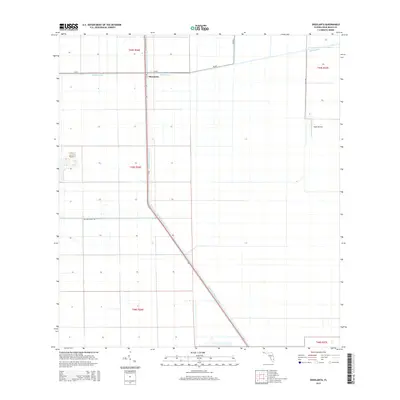
2015 Map of Okeelanta
USGS Topo · Published 2015About this map
The agricultural landscape of Palm Beach County is defined by the intersection of major waterways and local transport infrastructure. Okeelanta serves as the central focal point, situated at the junction of Bolles Canal and the North New River Canal. The map reveals a highly structured grid of land management and drainage common to the Florida Everglades, organized into townships such as t45s r36e. Local aviation and logistics are represented by the Duda Airstrip on the eastern edge of the survey, connected by rural routes like Duda Rd and Willard Smith Rd. This survey documents a critical area of Florida's interior drainage and agricultural network during the mid-2010s, illustrating the engineering required to manage water in this low-lying region.
Find a feature on this map
13 named features on this map. Tap any name to fly to it.
Don’t see what you’re looking for? This feature index may not catch every label — zoom into the map to look around manually.
Map Details
Editions of this 2015 Okeelanta Map
This is the sole edition of this map. No revisions or reprints were ever made.
Other maps of this area

1956 · West Palm Beach
USGS Topo · 1:250,000

1957 · West Palm Beach
USGS Topo · 1:250,000

1958 · West Palm Beach
USGS Topo · 1:250,000
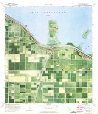
1970 · Lake Harbor
USGS Topo · 1:24,000
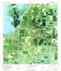
1970 · Belle Glade
USGS Topo · 1:24,000
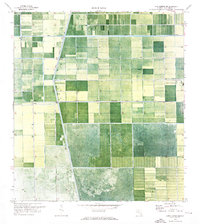
1970 · Lake Harbor SE
USGS Topo · 1:24,000
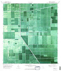
1970 · Okeelanta
USGS Topo · 1:24,000
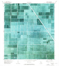
1970 · Shawano
USGS Topo · 1:24,000
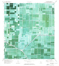
1970 · Sixmile Bend
USGS Topo · 1:24,000
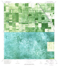
1974 · Everglades 1 NW
USGS Topo · 1:24,000