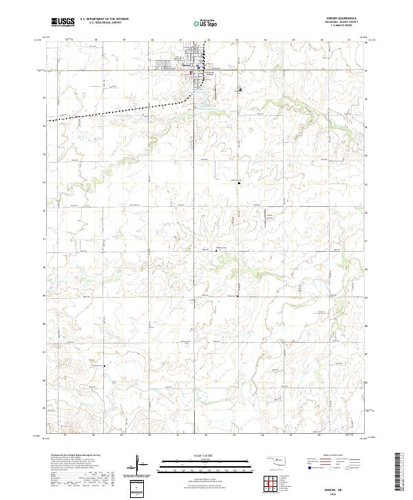
2022 Map of Okeene
USGS Topo · Published 2022About this map
Okeene serves as the primary hub of this Blaine County landscape, where the street grid meets the open prairies of central Oklahoma. The town is flanked by aviation infrastructure, including Christman Airfield to the east and the smaller Lamle Airport situated further south. This area is characterized by a significant number of family-named burial grounds scattered through the rural sections, such as Roselawn Cem, Ebenfeld Cem, and Brickman Cem, which offer critical touchpoints for genealogical research.
Find a feature on this map
33 named features on this map. Tap any name to fly to it.
Don’t see what you’re looking for? This feature index may not catch every label — zoom into the map to look around manually.
Map Details
Editions of this 2022 Okeene Map
This is the sole edition of this map. No revisions or reprints were ever made.
Other maps of this area

1893 · Loyal
USGS Topo · 1:62,500

1893 · Ames
USGS Topo · 1:62,500

1955 · Clinton
USGS Topo · 1:250,000

1955 · Woodward
USGS Topo · 1:250,000

1956 · Ames
USGS Topo · 1:62,500

1957 · Clinton
USGS Topo · 1:250,000

1958 · Woodward
USGS Topo · 1:250,000
1972 · Loyal NW
USGS Topo · 1:24,000

1972 · Southard
USGS Topo · 1:24,000

1972 · Okeene
USGS Topo · 1:24,000