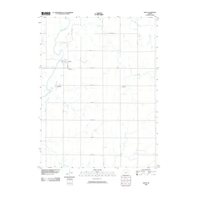
2009 Map of Oketo
USGS Topo · Published 2009About this map
The Big Blue River anchors this northern Marshall County landscape, winding past the rural settlements of Oketo and Marietta. A high-resolution view from the early 21st century reveals a deeply surveyed grid of section roads like Cherokee Rd and Frontier Rd, which divide the agricultural terrain between numerous watercourses. For family historians, the presence of the Oketo Cemetery and North Elm Cemetery provides essential locations for tracing local lineages. The drainage network is particularly dense here, with tributaries such as North Elm Creek, Mission Creek, and Bommer Creek etching the land as they move toward the main river valley. This survey documents the intersection of legacy settlement patterns and modern infrastructure, from the residential streets of Mill St to the remote crossing at Blodgett Creek.
Find a feature on this map
31 named features on this map. Tap any name to fly to it.
Don’t see what you’re looking for? This feature index may not catch every label — zoom into the map to look around manually.
Map Details
Editions of this 2009 Oketo Map
This is the sole edition of this map. No revisions or reprints were ever made.
Other maps of this area

1889 · Seneca
USGS Topo · 1:125,000

1889 · Marysville
USGS Topo · 1:125,000

1894 · Seneca
USGS Topo · 1:125,000

1894 · Marysville
USGS Topo · 1:125,000

1955 · Manhattan
USGS Topo · 1:250,000

1955 · Lincoln
USGS Topo · 1:250,000

1956 · Manhattan
USGS Topo · 1:250,000

1957 · Manhattan
USGS Topo · 1:250,000

1957 · Lincoln
USGS Topo · 1:250,000

1958 · Lincoln
USGS Topo · 1:250,000