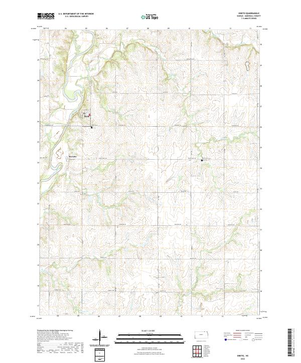
2022 Map of Oketo
USGS Topo · Published 2022About this map
The Big Blue River carves a significant path through this Marshall County landscape, anchoring the settlements of Oketo and Marietta. This modern survey illustrates the enduring agricultural layout of the region, where a structured grid of rural roads—such as Bison Rd and Cherokee Rd—intersects a complex network of waterways including N Elm Cr and Spring Cr. These creeks create a rolling topography that breaks the geometric precision of the township lines.
Find a feature on this map
24 named features on this map. Tap any name to fly to it.
Don’t see what you’re looking for? This feature index may not catch every label — zoom into the map to look around manually.
Map Details
Editions of this 2022 Oketo Map
This is the sole edition of this map. No revisions or reprints were ever made.
Other maps of this area

1889 · Seneca
USGS Topo · 1:125,000

1889 · Marysville
USGS Topo · 1:125,000

1894 · Seneca
USGS Topo · 1:125,000

1894 · Marysville
USGS Topo · 1:125,000

1955 · Manhattan
USGS Topo · 1:250,000

1955 · Lincoln
USGS Topo · 1:250,000

1956 · Manhattan
USGS Topo · 1:250,000

1957 · Manhattan
USGS Topo · 1:250,000

1957 · Lincoln
USGS Topo · 1:250,000

1958 · Lincoln
USGS Topo · 1:250,000