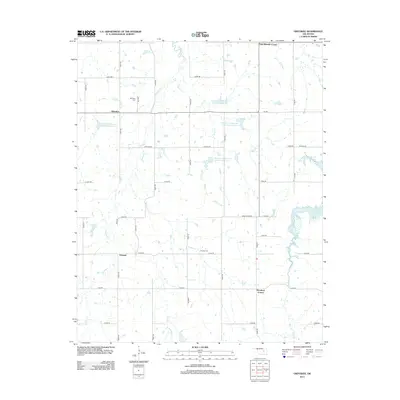
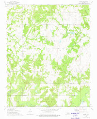
2012 Map of Okfuskee
USGS Topo · Published 2012About this map
Okfuskee and its surrounding rural community are defined by a network of sectional roads and the meandering drainage basins of Nuyaka Cr and Sixshooter Cr. This 2012 survey documents a landscape structured by agriculture and small crossroads settlements such as Woodard Corner, Oriental, and Park Wheeler Corner. The presence of Okfuskee Cem and Nuyaka Cem provides significant points of interest for genealogists tracing local family histories in this part of Oklahoma.
Find a feature on this map
38 named features on this map. Tap any name to fly to it.
Don’t see what you’re looking for? This feature index may not catch every label — zoom into the map to look around manually.
Map Details
Editions of this 2012 Okfuskee Map
This is the sole edition of this map. No revisions or reprints were ever made.
Other maps of this area

1900 · Wewoka
USGS Topo · 1:125,000

1901 · Nuyaka
USGS Topo · 1:125,000

1954 · Oklahoma City
USGS Topo · 1:250,000

1957 · Oklahoma City
USGS Topo · 1:250,000

1963 · Oklahoma City
USGS Topo · 1:250,000
1967 · Pharoah
USGS Topo · 1:24,000

1967 · Okemah
USGS Topo · 1:24,000
1967 · Clearview
USGS Topo · 1:24,000
1973 · Nuyaka
USGS Topo · 1:24,000
1973 · Newby
USGS Topo · 1:24,000