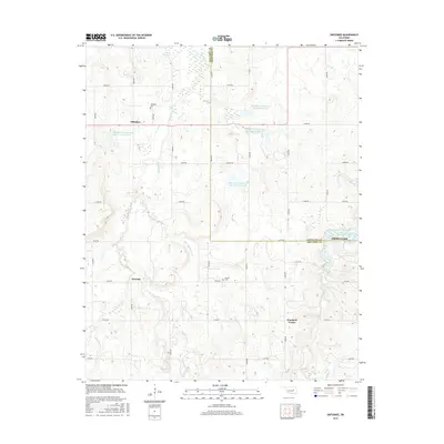
2016 Map of Okfuskee
USGS Topo · Published 2016About this map
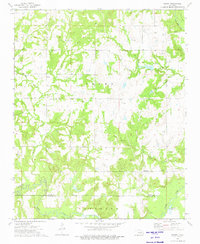
Okfuskee and its surrounding countryside in central Oklahoma are defined by a network of small creeks and flood-control reservoirs along the Okfuskee and Okmulgee County line. This rural landscape is dotted with legacy sites significant to local genealogy, including Okfuskee Cem near the townsite and Nuyaka Cem further south. The terrain is deeply etched by waterways such as Nuyaka Cr, Sixshooter Cr, and Philadelphia Cr, which feed into numerous watershed projects like Okfuskee Tributaries Site N-10 Reservoir. Settlement patterns are sparse, with tiny junctions like Oriental and Woodard Corner marking the intersections of a strictly rectangular section-line road grid. This 2016 survey documents the modern layout of these small communities and the systematic water management infrastructure that has shaped the local agriculture and environment.
Find a feature on this map
41 named features on this map. Tap any name to fly to it.
Don’t see what you’re looking for? This feature index may not catch every label — zoom into the map to look around manually.
Map Details
Editions of this 2016 Okfuskee Map
This is the sole edition of this map. No revisions or reprints were ever made.
Other maps of this area

1900 · Wewoka
USGS Topo · 1:125,000

1901 · Nuyaka
USGS Topo · 1:125,000

1954 · Oklahoma City
USGS Topo · 1:250,000

1957 · Oklahoma City
USGS Topo · 1:250,000

1963 · Oklahoma City
USGS Topo · 1:250,000
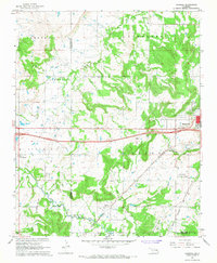
1967 · Pharoah
USGS Topo · 1:24,000

1967 · Okemah
USGS Topo · 1:24,000
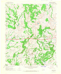
1967 · Clearview
USGS Topo · 1:24,000
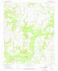
1973 · Nuyaka
USGS Topo · 1:24,000
1973 · Newby
USGS Topo · 1:24,000