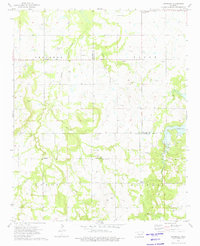
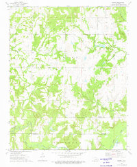
1973 Map of Okfuskee
USGS Topo · Published 1975About this map
Nuyaka Mission Ch stands as a central historical landmark within this section of East Central Oklahoma, situated near the confluence of several prominent waterways. The terrain is defined by the winding paths of Nuyaka Creek, Sixshooter Creek, and Brier Creek, which historically influenced the placement of early settlements and roads. The small community of Okfuskee is documented alongside its namesake Okfuskee Cem, while further south, the settlement of Oriental is positioned near the banks of Nuyaka Creek.
Find a feature on this map
28 named features on this map. Tap any name to fly to it.
Don’t see what you’re looking for? This feature index may not catch every label — zoom into the map to look around manually.
Map Details
Editions of this 1973 Okfuskee Map
This is the sole edition of this map. No revisions or reprints were ever made.
Other maps of this area

1900 · Wewoka
USGS Topo · 1:125,000

1901 · Nuyaka
USGS Topo · 1:125,000

1954 · Oklahoma City
USGS Topo · 1:250,000

1957 · Oklahoma City
USGS Topo · 1:250,000

1963 · Oklahoma City
USGS Topo · 1:250,000
1967 · Pharoah
USGS Topo · 1:24,000

1967 · Okemah
USGS Topo · 1:24,000
1967 · Clearview
USGS Topo · 1:24,000
1973 · Nuyaka
USGS Topo · 1:24,000
1973 · Newby
USGS Topo · 1:24,000