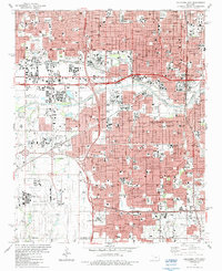
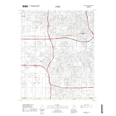
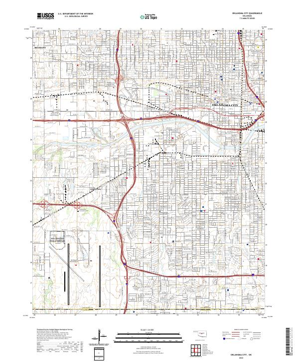
1995 Map of Oklahoma City
USGS Topo · Published 2000About this map
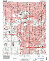
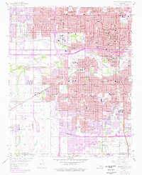
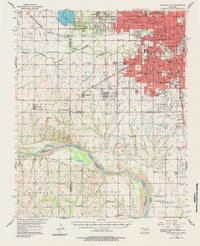
Oklahoma City's dense urban grid and expansive transportation networks are captured here in the mid-1990s, anchored by the massive footprint of Will Rogers World Airport and the State Fairground. The map documents a metropolis shaped by institutional growth, showing prominent landmarks such as Oklahoma City University, the Myriad Convention Center, and St Anthony Hosp. The North Canadian River winds through the central corridor, flanked by a complex system of levees and numerous recreational spaces like Wheeler Park and Wiley Post Park. For those tracing local heritage, the map identifies numerous neighborhood schools and religious sites, including the Czech Cem, Fairlawn Cemetery, and Crossroads Cathedral. This record reflects the city’s post-war expansion as arterial routes like the Stanley Draper Expressway integrate the surrounding residential and industrial zones.
Find a feature on this map
106 named features on this map. Tap any name to fly to it.
Don’t see what you’re looking for? This feature index may not catch every label — zoom into the map to look around manually.
Map Details
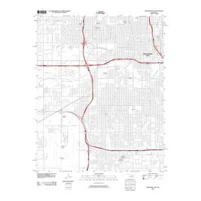
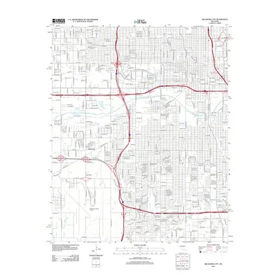
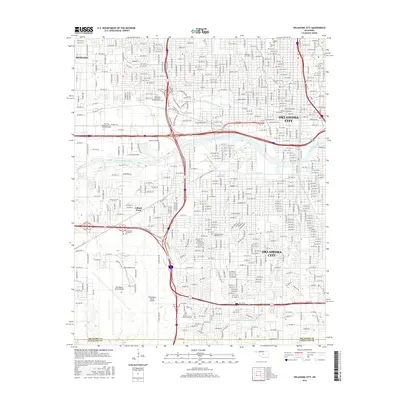
Editions of this 1995 Oklahoma City Map
This is the sole edition of this map. No revisions or reprints were ever made.
Historical Maps of Oklahoma City Through Time
13 maps found

1893 Oklahoma City
Oklahoma County, OK

1954 Oklahoma City
Oklahoma County, OK
1956 Oklahoma City
Oklahoma County, OK
1956 Oklahoma City
Oklahoma County, OK
1957 Oklahoma City
Oklahoma County, OK

1963 Oklahoma City
Oklahoma County, OK
1986 Oklahoma City
Oklahoma County, OK
1995 Oklahoma City
Oklahoma County, OK
2009 Oklahoma City
Oklahoma County, OK
2012 Oklahoma City
Oklahoma County, OK
2016 Oklahoma City
Oklahoma County, OK
2018 Oklahoma City
Oklahoma County, OK
2022 Oklahoma City
Oklahoma County, OK