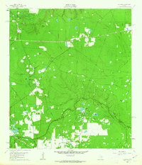
1962 Map of Oklahoma
USGS Topo · Published 1963About this map
Spring Creek meanders along the southern border of this Southeast Texas landscape, marking the boundary between Montgomery Co and Harris Co. The early 1960s terrain is heavily defined by petroleum extraction, with the Indian Hills Oil Field, Tamina Oil Field, and Hufsmith East Oil Field scattered across the wooded piney woods. Small settlements like Oklahoma and Egypt provide historical anchor points for researchers, while the Missouri Pacific railroad cuts through the southwest corner near Hufsmith. Local genealogy is well-represented by family-named landmarks and resting places such as Zion Cem and Pate Cem. The map reveals a complex network of wetlands and small bodies of water, including Neidigk Lake, Schwintz Lake, and Mayhaw Pond, interspersed with industrial features like a Cycling Plant and numerous Gravel Pits.
Find a feature on this map
41 named features on this map. Tap any name to fly to it.
Don’t see what you’re looking for? This feature index may not catch every label — zoom into the map to look around manually.
Map Details
Editions of this 1962 Oklahoma Map
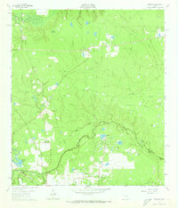
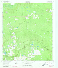
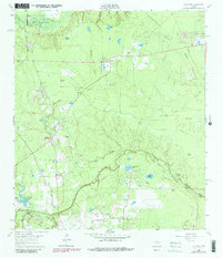
4 editions found
Other maps of this area

1916 · Rose Hill
USGS Topo · 1:24,000

1916 · Louetta
USGS Topo · 1:24,000

1916 · Spring
USGS Topo · 1:24,000

1920 · Spring
USGS Topo · 1:31,680

1920 · Rose Hill
USGS Topo · 1:31,680

1920 · Louetta
USGS Topo · 1:31,680

1954 · Beaumont
USGS Topo · 1:250,000

1957 · Beaumont
USGS Topo · 1:250,000

1958 · Conroe
USGS Topo · 1:24,000

1958 · Cowl Spur
USGS Topo · 1:24,000