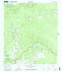
1962 Map of Oklahoma
USGS Topo · Published 1980About this map
Spring Creek meanders along the boundary between Montgomery and Harris counties, anchoring a landscape defined by mid-century petroleum extraction and rural crossroads. The area around the settlement of Oklahoma is particularly dense with genealogical markers, including the Oklahoma Cem, Pate Cem, and McCall Cem, alongside Zion Cem to the south. These small cemeteries and the Hufschmidt rail siding reflect a pattern of early Texas settlement that persisted even as industry expanded.
Find a feature on this map
39 named features on this map. Tap any name to fly to it.
Don’t see what you’re looking for? This feature index may not catch every label — zoom into the map to look around manually.
Map Details
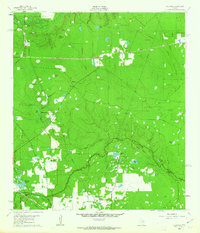
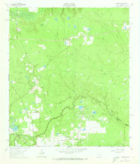
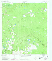
Editions of this 1962 Oklahoma Map
4 editions found
Other maps of this area

1916 · Rose Hill
USGS Topo · 1:24,000

1916 · Louetta
USGS Topo · 1:24,000

1916 · Spring
USGS Topo · 1:24,000

1920 · Spring
USGS Topo · 1:31,680

1920 · Rose Hill
USGS Topo · 1:31,680

1920 · Louetta
USGS Topo · 1:31,680

1954 · Beaumont
USGS Topo · 1:250,000

1957 · Beaumont
USGS Topo · 1:250,000

1958 · Conroe
USGS Topo · 1:24,000

1958 · Cowl Spur
USGS Topo · 1:24,000