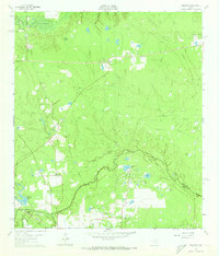
1962 Map of Oklahoma
USGS Topo · Published 1973About this map
Spring Creek meanders along the boundary between Montgomery Co and Harris Co, defining a landscape where rural settlements meet an expanding energy infrastructure. The community of Oklahoma sits at the heart of this region, surrounded by active industrial sites like the Lake Creek Oil Field and the Tamina Oil Field. This 1962 topography reveals a high concentration of localized resource extraction, evidenced by numerous Gravel Pits and drilling operations across the Indian Hills. For those researching local family histories, the map identifies several small burial grounds, including Zion Cem, Pate Cem, and McCall Cem, alongside the Missouri Pacific railroad line that facilitates the region's movement of goods. Numerous small bodies of water, such as Goodson Pocket and Schwerin Lake, dot the wooded terrain between the settlements of Egypt and Oklahoma.
Find a feature on this map
44 named features on this map. Tap any name to fly to it.
Don’t see what you’re looking for? This feature index may not catch every label — zoom into the map to look around manually.
Map Details
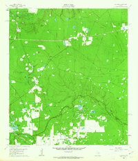
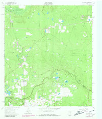
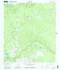
Editions of this 1962 Oklahoma Map
4 editions found
Other maps of this area

1916 · Rose Hill
USGS Topo · 1:24,000

1916 · Louetta
USGS Topo · 1:24,000

1916 · Spring
USGS Topo · 1:24,000

1920 · Spring
USGS Topo · 1:31,680

1920 · Rose Hill
USGS Topo · 1:31,680

1920 · Louetta
USGS Topo · 1:31,680

1954 · Beaumont
USGS Topo · 1:250,000

1957 · Beaumont
USGS Topo · 1:250,000

1958 · Conroe
USGS Topo · 1:24,000

1958 · Cowl Spur
USGS Topo · 1:24,000