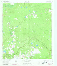
1962 Map of Oklahoma
USGS Topo · Published 1980About this map
Spring Creek meanders along the southern border of this landscape, marking the historic boundary between Montgomery and Harris Counties. The area is defined by a transitional economy where timbered pockets like Goodson Pocket and numerous small water bodies, including Schweinle Lake and Neidigk Lake, sit alongside an active industrial infrastructure. Significant petroleum extraction is evident across several major areas, including the Indian Hills Oil Field and Tamina Oil Field, which are crisscrossed by pipelines and access roads.
Find a feature on this map
39 named features on this map. Tap any name to fly to it.
Don’t see what you’re looking for? This feature index may not catch every label — zoom into the map to look around manually.
Map Details
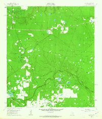
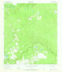
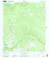
Editions of this 1962 Oklahoma Map
4 editions found
Other maps of this area

1916 · Rose Hill
USGS Topo · 1:24,000

1916 · Louetta
USGS Topo · 1:24,000

1916 · Spring
USGS Topo · 1:24,000

1920 · Spring
USGS Topo · 1:31,680

1920 · Rose Hill
USGS Topo · 1:31,680

1920 · Louetta
USGS Topo · 1:31,680

1954 · Beaumont
USGS Topo · 1:250,000

1957 · Beaumont
USGS Topo · 1:250,000

1958 · Conroe
USGS Topo · 1:24,000

1958 · Cowl Spur
USGS Topo · 1:24,000