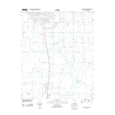
2012 Map of Okmulgee South
USGS Topo · Published 2012About this map
The Deep Fork river system dominates the lower half of this landscape south of Okmulgee, winding through a complex network of wetlands and tributaries like Burgess Cr and Montezuma Cr. The map captures a high density of historical sites essential for genealogical research, including several large burial grounds such as Oakwood Cem, Woodlawn Cem, and Okmulgee Cem clustered near the northern boundary. Further south, the rural character is defined by smaller communities and their corresponding landmarks, from the settlement at Schulter to the eastern community of Grayson. The terrain transitions from the developed street grids of Okmulgee's southern edge to the low-lying reaches of Flag Lake and the distinct elevation of Elephant Knob, illustrating the varied topography of Okmulgee County. Notable rural cemeteries like Little Cussetah Cem and Big Cussetah Cem provide specific points of interest for local family historians.
Find a feature on this map
99 named features on this map. Tap any name to fly to it.
Don’t see what you’re looking for? This feature index may not catch every label — zoom into the map to look around manually.
Map Details
Editions of this 2012 Okmulgee South Map
This is the sole edition of this map. No revisions or reprints were ever made.
Other maps of this area

1896 · Okmulgee
USGS Topo · 1:125,000

1900 · Canadian
USGS Topo · 1:125,000

1900 · Wewoka
USGS Topo · 1:125,000

1900 · Okmulgee
USGS Topo · 1:125,000

1901 · Nuyaka
USGS Topo · 1:125,000

1946 · Fort Smith
USGS Topo · 1:250,000

1954 · Oklahoma City
USGS Topo · 1:250,000

1957 · Oklahoma City
USGS Topo · 1:250,000

1962 · Henryetta
USGS Topo · 1:24,000

1962 · Hoffman
USGS Topo · 1:24,000