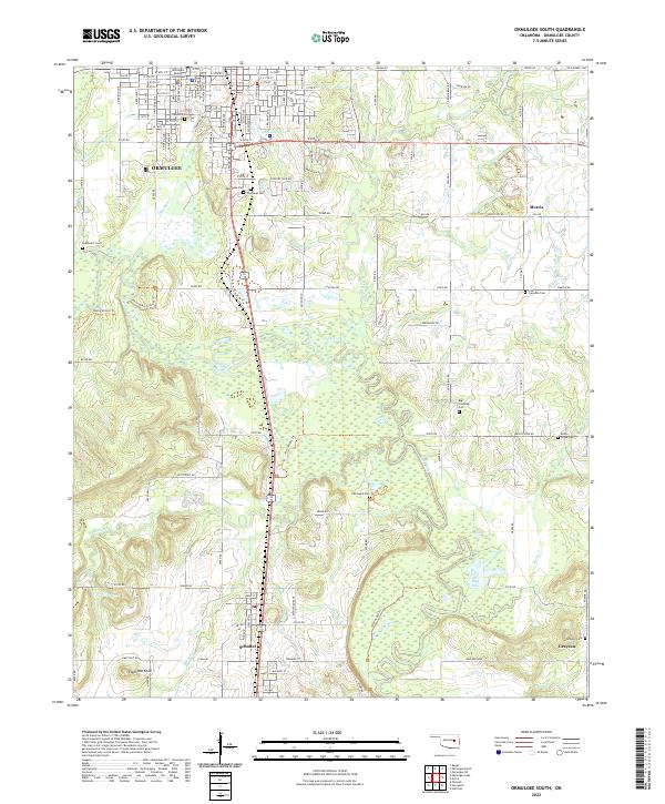
2022 Map of Okmulgee South
USGS Topo · Published 2022About this map
The southern portion of Okmulgee and the surrounding Okmulgee County countryside are defined by a complex network of creeks and low-lying wetlands. The town's grid expands southward toward Greenwood Lake and Woodlawn Cem, anchored by the Okmulgee County Courthouse in the north. This area reflects a long history of community burial grounds, with numerous cemeteries such as Oakwood Cem, Southwest Cem, and the more remote Pawhuska Cem scattered across the landscape.
Find a feature on this map
63 named features on this map. Tap any name to fly to it.
Don’t see what you’re looking for? This feature index may not catch every label — zoom into the map to look around manually.
Map Details
Editions of this 2022 Okmulgee South Map
This is the sole edition of this map. No revisions or reprints were ever made.
Other maps of this area

1896 · Okmulgee
USGS Topo · 1:125,000

1900 · Canadian
USGS Topo · 1:125,000

1900 · Wewoka
USGS Topo · 1:125,000

1900 · Okmulgee
USGS Topo · 1:125,000

1901 · Nuyaka
USGS Topo · 1:125,000

1946 · Fort Smith
USGS Topo · 1:250,000

1954 · Oklahoma City
USGS Topo · 1:250,000

1957 · Oklahoma City
USGS Topo · 1:250,000

1962 · Henryetta
USGS Topo · 1:24,000

1962 · Hoffman
USGS Topo · 1:24,000