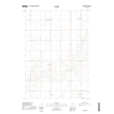
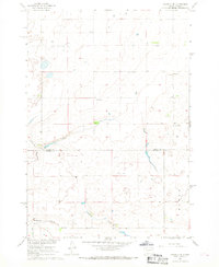
2017 Map of Okobojo NE
USGS Topo · Published 2017About this map
Okobojo Creek winds through the heart of this Sully County landscape, carving a distinct drainage pattern across the central and southern sections of the township. The land is largely defined by the Public Land Survey System grid, which dictates the placement of the local road network, including Onida Rd and Stewart Rd. A key point of interest for genealogists is the Okobojo Cem located in the southwestern quadrant, accessed via Cemetery Rd. This cemetery serves as a physical reminder of the early settlers who established themselves along the banks of Okobojo Cr in this rural South Dakota prairie. The map provides a detailed view of the surface hydrology, showing numerous small wetlands and basins scattered throughout the northern sections, characteristic of the region's glaciated topography.
Find a feature on this map
18 named features on this map. Tap any name to fly to it.
Don’t see what you’re looking for? This feature index may not catch every label — zoom into the map to look around manually.
Map Details
Editions of this 2017 Okobojo NE Map
This is the sole edition of this map. No revisions or reprints were ever made.
Other maps of this area

1954 · Pierre
USGS Topo · 1:250,000

1958 · Pierre
USGS Topo · 1:250,000
1965 · Artichoke Butte
USGS Topo · 1:24,000
1965 · Agar SW
USGS Topo · 1:24,000
1965 · Okobojo NE
USGS Topo · 1:24,000
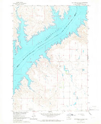
1965 · Artichoke Butte SW
USGS Topo · 1:24,000
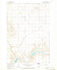
1965 · Okobojo
USGS Topo · 1:24,000
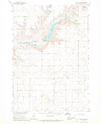
1965 · Sully Lake
USGS Topo · 1:24,000
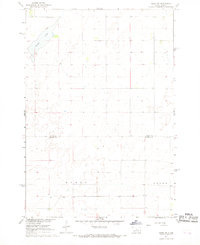
1967 · Onida SW
USGS Topo · 1:24,000
1967 · Okobojo SE
USGS Topo · 1:24,000