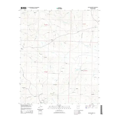
2014 Map of Okolona North
USGS Topo · Published 2014About this map
Okolona anchors the southern edge of this Clark County landscape, where the rural road network connects several small settlements and family burial grounds. The terrain is defined by the drainage systems of Terre Noire Creek and Moores Creek, which flow through a region characterized by small-scale agriculture and timber. Local genealogy and history are preserved in the locations of numerous community cemeteries, including Wimblely Cem, Bethel Cem, and Ross Cem. The map illustrates a social geography centered on crossroads like Smyrna, Halfway, and Bethel, each linked by thoroughfares such as Ar-26 and Smyrna Rd. Toward the northwest, the Ashworth Airport and various trails like Riley Trl and Ashworth Trl indicate more modern transportation and recreational uses of the land. This survey provides a clear view of the dispersed settlement patterns and water-driven topography of the Arkansas interior.
Find a feature on this map
75 named features on this map. Tap any name to fly to it.
Don’t see what you’re looking for? This feature index may not catch every label — zoom into the map to look around manually.
Map Details
Editions of this 2014 Okolona North Map
This is the sole edition of this map. No revisions or reprints were ever made.
Other maps of this area

1901 · Gurdon
USGS Topo · 1:125,000

1943 · Antoine
USGS Topo · 1:62,500

1953 · El Dorado
USGS Topo · 1:250,000

1955 · Little Rock
USGS Topo · 1:250,000

1956 · Little Rock
USGS Topo · 1:250,000

1957 · El Dorado
USGS Topo · 1:250,000

1958 · El Dorado
USGS Topo · 1:250,000

1960 · El Dorado
USGS Topo · 1:250,000

1960 · Little Rock
USGS Topo · 1:250,000

1964 · Little Rock
USGS Topo · 1:250,000