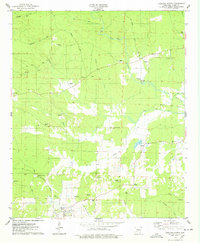
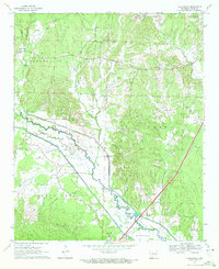
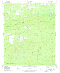
1975 Map of Okolona North
USGS Topo · Published 1978This historical map portrays the area of Okolona North in 1975, primarily covering Clark County. Featuring a scale of 1:24000, this map provides a highly detailed snapshot of the terrain, roads, buildings, counties, and historical landmarks in the Okolona North region at the time. Published in 1978, it is the sole known edition of this map.
Find a feature on this map
44 named features on this map. Tap any name to fly to it.
Don’t see what you’re looking for? This feature index may not catch every label — zoom into the map to look around manually.
Map Details
Editions of this 1975 Okolona North Map
This is the sole edition of this map. No revisions or reprints were ever made.
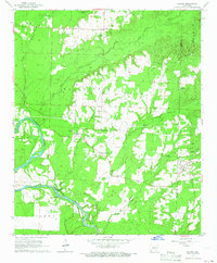
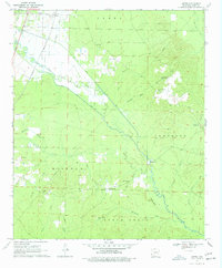
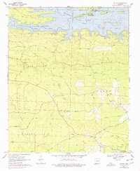
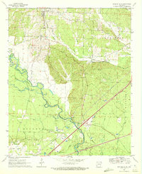
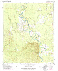
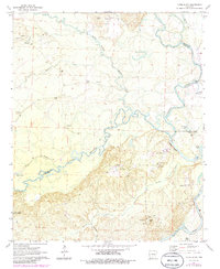
Historical Maps of Boswell Through Time
10 maps found
1965 Dalark
Clark County, AR
1970 Curtis
Clark County, AR
1970 De Gray
Clark County, AR
1970 Hollywood
Clark County, AR
1970 Okolona South
Clark County, AR
1971 Sparkman NW
Clark County, AR
1971 Tates Bluff
Clark County, AR
1975 Chalybeate Mtn East
Clark County, AR
1975 Chalybeate Mtn West
Clark County, AR
1975 Okolona North
Clark County, AR